What is recorded here
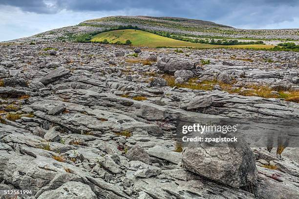
In a shallow depression in rough pasture, within a large multiperiod field system (CL009-059001-). Indicated on the 1897 OS 25-inch plan and the 1920 ed. of the OS 6-inch map. Listed as ‘Enclosure’ in the RMP (1996). This circular hut site (int. dims. 7.4m E-W; 7.2m N-S) is defined by a collapsed stone wall (Wth 2m). Larger stones protrude from the wall, their long axis pointing to the centre. The most likely original entrance (Wth 0.3m) is at SSE. The interior is c. 0.2m below the external ground surface.
An enclosure (CL009-059049-) lies c. 75m to the N.
The following image has been uploaded:
CL009-059051-_01.jpg View from E.
Compiled by: Mary Tunney and Conn Herriott
Date of upload: 15 February 2022
The monument record does not grant public access. Check the route and ask the landowner before entering private land.
- What survives
- Recorded monument
Places near here
 Enclosure in Noughaval (burren By.)Enclosure · 97 yd
 CaherwalshFairy fort / stone ringfort · 280 yd
 Noughaval Church (in ruins)Church · 949 yd
 Saint Mochua's Catholic Churchchurch/chapel · 1000 yd
 Ballyganner Castle (in ruins)Castle, tower house · 1747 yd
 Site of Ballymurphy CastleCastle, tower house · 1.4 mi
 Cave of the Wild HorsesCave · 1.9 mi
 CaherconnellHeritage attraction · 2.4 mi
 High CrossHeritage attraction · 2.4 mi
 Burren Centre KilfenoraVisitor information · 2.4 mi
 Poulnabrone - Burren GeositeVisitor information · 2.8 mi
 Fergus River CaveCave · 3.3 mi