What is recorded here
Marked as a scrub-covered feature (diam. c. 25m) on the 1839 and 1924 eds of the OS 6-inch map, and situated on a N-facing slope of the valley of the NE-SW River Bann with the stream c. 420m to the NW. A mound (diam. c. 35m; H c. 3m) was being removed in 1949 when a cairn of stones (diam. c. 8m; H c. 1m) surrounding a Linkardstown-type cist was uncovered, and investigated. The cist was alinged NE-SW and consisted of four stones leaning inwards (dims. of top 1.26m x 0.36m; dims. of base 1.6m x 0.5m; H 0.65m). Above the side-stones were corbels and a single oval roofstone (dims. 1.25m x 0.8m; T 0.1m). The cist contained the inhumed remains of a single individual, but it is not known whether the burial was crouched or extended, and fragments of a bowl, with incised decoration of Neolithic character (Eogan and Herity 1977, 107, Fig. 27,4). The cairn had been covered by the mound, which had been surrounded by a shallow fosse (Wth 2.5m; D 0.3m) that might not have been original. Nothing is visible now at ground level just outside the NE angle of a farm complex. The church (WX016-003----) was c. 90m to the WSW, but completely unrelated. (Lucas 1950)
The above description is derived from the published 'Archaeological Inventory of County Wexford' (Dublin: Stationery Office, 1996). In certain instances the entries have been revised and updated in the light of recent research.
Compiled by: Michael Moore
Date of upload/revision: 12 April, 2012
The monument record does not grant public access. Check the route and ask the landowner before entering private land.
- What survives
- Recorded monument
Places near here
 Enclosure in NorrismountEnclosure · 311 yd
 Milshoge RockMountain / peak · 518 yd
 Camolin National Schoolschool · 736 yd
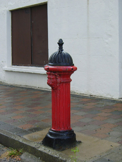 water pumpwater pump · 787 yd
 White WellHoly well · 1029 yd
 Giants BedNamed rock · 2.0 mi
 Camolin WoodForest · 2.0 mi
 Carrigroe HillMountain / peak · 2.0 mi
 The GroveWood · 2.7 mi
 Ferns Castle (in ruins)Castle, Anglo-Norman masonry castle · 3.8 mi
 Father Murphy CentreHeritage attraction · 4.4 mi
 CastleCastle, unclassified · 4.7 mi