What is recorded here
Small roughly circular island (dims. c. 18m) adjacent to the SW shore of Togher Lough, marked on OS 1836 and 1876 eds.
The above description is derived from the published 'Archaeological Inventory of County Cavan' (Dublin: Stationery Office, 1995). In certain instances the entries have been revised and updated in the light of recent research.
Date of upload/revision: 22 December 2008
The monument record does not grant public access. Check the route and ask the landowner before entering private land.
- What survives
- Recorded monument
Places near here
 Church in MullynagolmanChurch · 336 yd
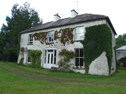 Sandville Househouse · 1554 yd
 Bilberry HillMountain / peak · 1.2 mi
 Ballyheady CairnArchaeological place · 1.2 mi
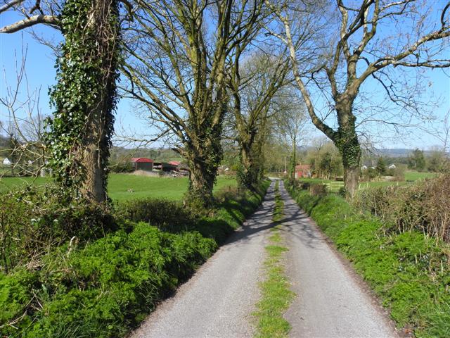 Enclosure in KillarahEnclosure · 1.3 mi
 Bellaheady MountainMountain / peak · 1.3 mi
 Killarah ForestForest · 1.6 mi
 Ballyconnell Log CabinsForest · 2.0 mi
 Kieran Doherty TD Cavan Monaghan MemorialMonument · 2.3 mi
 Killycluggin StoneVisitor information · 2.5 mi
 LissanoverCastle, unclassified · 2.9 mi
 Giants GraveArchaeological place · 3.8 mi