What is recorded here
Indicated is a low irregular boulder on the NE slope of a hillock in County Cavan, aligned NW-SE and never marked on the 1836 or 1876 maps. It is the kind of stone people walk past because it does not announce itself, yet its placement suggests someone once set it, saw it, or wanted it to be seen from a distance. In rough mountainous terrain, even a small stone can mark a boundary, a memory, or a warning.
Not marked on OS 1836 or 1876 eds. Sited on the NE slope of a hillock in rough mountainous terrain. Low irregularly shaped boulder (H 0.47m; dims. 0.5m x 0.47m) aligned NW-SE.
The above description is derived from the published 'Archaeological Inventory of County Cavan' (Dublin: Stationery Office, 1995). In certain instances the entries have been revised and updated in the light of recent research.
Date of upload/revision: 22 December 2008
The monument record does not grant public access. Check the route and ask the landowner before entering private land.
- What survives
- Recorded monument
Places near here
 White Carn Ancient Burying PlaceArchaeological place · 173 yd
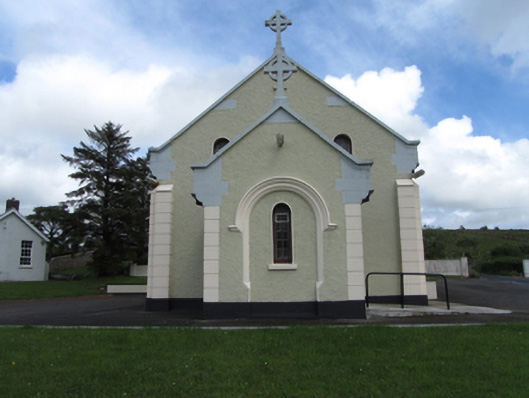 St Felim’s Roman Catholic Churchchurch/chapel · 770 yd
 Enclosure in GarvaghEnclosure · 842 yd
 CavernCave · 906 yd
 CavernsCave · 1220 yd
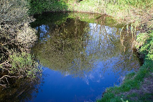 Shannon PotSpring · 1.1 mi
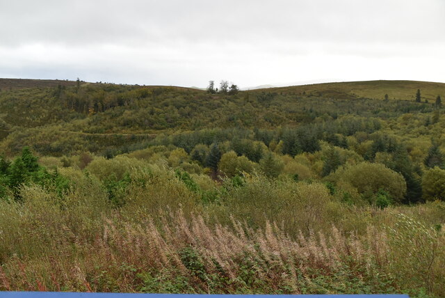 Cavan Burren ParkForest · 1.5 mi
 BurrenMountain / peak · 1.5 mi
 Boulder GraveyardArchaeological place · 1.6 mi
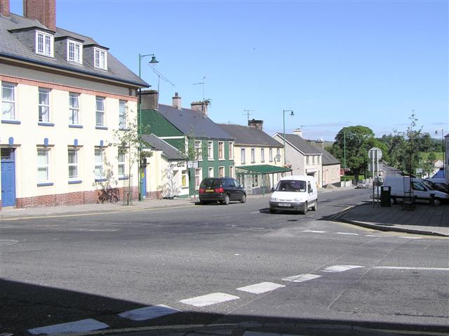 DerrennacoolaMountain / peak · 1.9 mi
 Marlbank ViewpointViewpoint · 2.7 mi
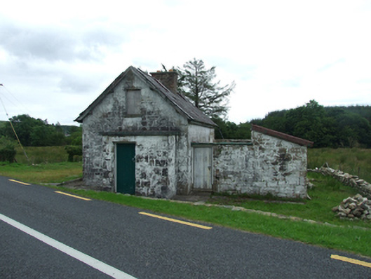 worker's houseworker's house · 2.9 mi