
What is recorded here
Indicated preserves the buried outline of Mountrath's defences, still visible in the way rear boundaries kick east like a forgotten bastion. The Mountrath River may have completed the enclosure, leaving stone and soil to hold what the water already guarded. A town can forget its own shape while its streets remember the line drawn to keep them alive.
A map of Mountrath (LA017-033) dating from 1730 shows the outline of possible defenses (LA017-033003-) on the east side of the town, a projecting line of boundary on the extreme E side of the town on the current edition of the OS 6-inch map may follow the original line of the town defences (SMR File R. Loeber 1995). On the current edition of the OS six-inch maps the property boundary at the rear of the houses facing onto the E side of the Main St. kicks out forming a triangular shaped projection similar to an earthen bastion. This projecting spur may following the original line of the town defences indicated on the map of Mountrath drawn by Thomas Moland in 1730 (NLI n.3947, p.3618). The Mountrath River appears to have formed the defensive element of the town on the S and E sides. The earthen defences of the town may have run off the N and S end of the Mountrath River forming a possible earthen enclosure around the town of Mountrath in the 17th century.
Compiled by Caimin O'Brien
Date of upload / revision : 17 August 2010
The monument record does not grant public access. Check the route and ask the landowner before entering private land.
- What survives
- Recorded monument
Places near here
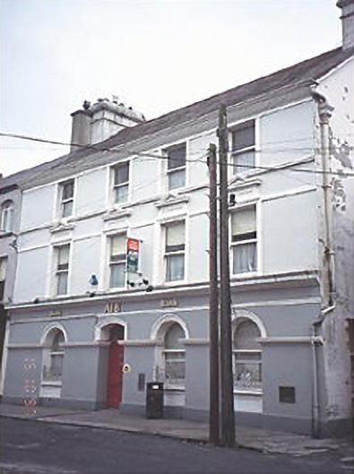 Allied Irish Bankbank/financial institution · 147 yd
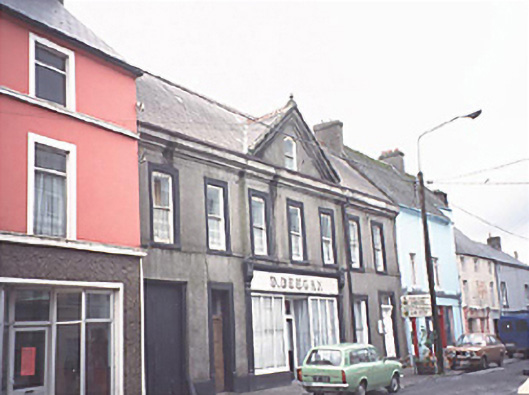 D. DeeganOfficially recorded historic building · 170 yd
 Castle in ruins, Red Castle FortCastle, unclassified · 1.3 mi
 Site of CastleCastle, unclassified · 1.8 mi
 Enclosure in Clonard OR CappaloughlinEnclosure · 1.9 mi
 Sweet ChestnutSweet Chestnut · 2.2 mi
 SycamoreSycamore · 2.2 mi
 Ritual siteRitual site, holy tree/bush · 2.3 mi
 BaunreaghcongMountain / peak · 5.9 mi
 Slieve Bloom MountainsMountain range · 7.9 mi
 ArderinMountain / peak · 8.1 mi
 Welcom to GlenreganVisitor information · 9.6 mi
Other information
Photo: Credit not shown in the picture search · Rights wording not checked; contact us if this picture should be removed