What is recorded here
Located towards the top of the S-facing slope of a drumlin overlooking the Inner Lough, which is to the S. This is a circular area (diam. 35m E-W; 34m N-S) planted with coniferous trees that slopes down to the SE. It is defined by an earthen bank (at ENE: Wth of base 3.5m; Wth of top 1.2m; int. H 0.55m; ext. H 1.35m) that is incorporated into a field bank S-NNW. There is no visible fosse and the original entrance is not identified. A silage pit immediately to the SE has deposited a large bank of spoil outside the monument on the S side
The above description is derived from the published 'Archaeological Inventory of County Monaghan' (Dublin: Stationery Office, 1986). In certain instances the entries have been revised and updated in the light of recent research.
Revised by: Michael Moore
Date of revision: 19 June 2018
A local fairy fort (ringfort/rath); wider significance not recorded.
- Townland
- Monage
- Official type
- Ringfort - rath
- Official record
- MO023-001----
- What survives
- Recorded monument
- Location
- Official recorded centre point
The monument record does not grant public access. Check the route and ask the landowner before entering private land.
Places near here
 Holy Trinity Catholic Church — CARSANchurch/chapel · 447 yd
 Indicated — DrumintinFairy fort / earthen ringfort · 651 yd
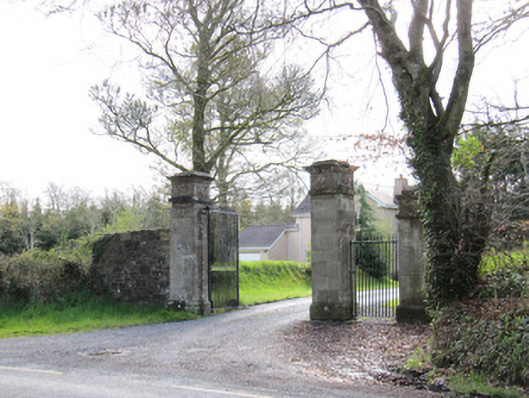 Dartrey House — DAWSON GROVE DEMESNEgates/railings/walls · 737 yd
 Indicated — Dawson Grove DemesneCrannog · 748 yd
 LisnaspeenanMountain / peak · 1333 yd
 Rabbitburrow WoodWood · 1438 yd
 Fedd HillMountain / peak · 1503 yd
 Back WoodForest · 1607 yd
 Bawn in DrumsheilBawn · 5.2 mi
 Site of Old Castle — TullyvinCastle — unclassified · 5.4 mi
 Dawson Monument — DAWSON GROVE DEMESNEmonument · 947 yd
 Dawson MonumentMonument · 948 yd