What is recorded here
On top of a small, high EW ridge with good views. The N side of the ridge is truncated by a railway line and the S side by a road. A roughly circular embanked enclosure (diam. c. 20m) is shown on the 1838 OS 6-inch map; it is not shown on later map editions. There is no visible trace at ground level. The ridge is now planted with pine trees.
Compiled by: Jane O'Shaughnessy
Date of upload: 9 November 2021
This remains an important historical record, but the official description says the monument is no longer visible or has been destroyed. The monument record does not grant public access. Check the route and ask the landowner before entering private land.
- What survives
- No visible remains or recorded as destroyed
Places near here
 KilleenagalliaghChurch · 555 yd
 TobergalliaghHoly well · 575 yd
 IndicatedEnclosure · 916 yd
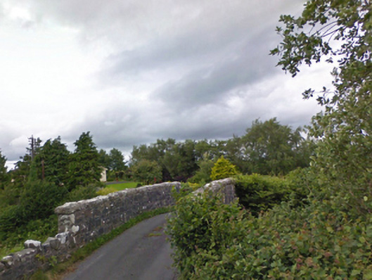 bridgebridge · 1274 yd
 Carney's Cottage 1863Memorial · 1.6 mi
 Famine MemorialMemorial · 1.7 mi
 BaldcypressBaldcypress · 3.1 mi
 Pirate QueenHeritage attraction · 3.2 mi
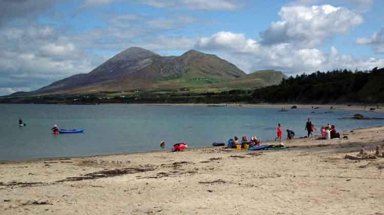 Garvillaun PointHeadland · 3.9 mi
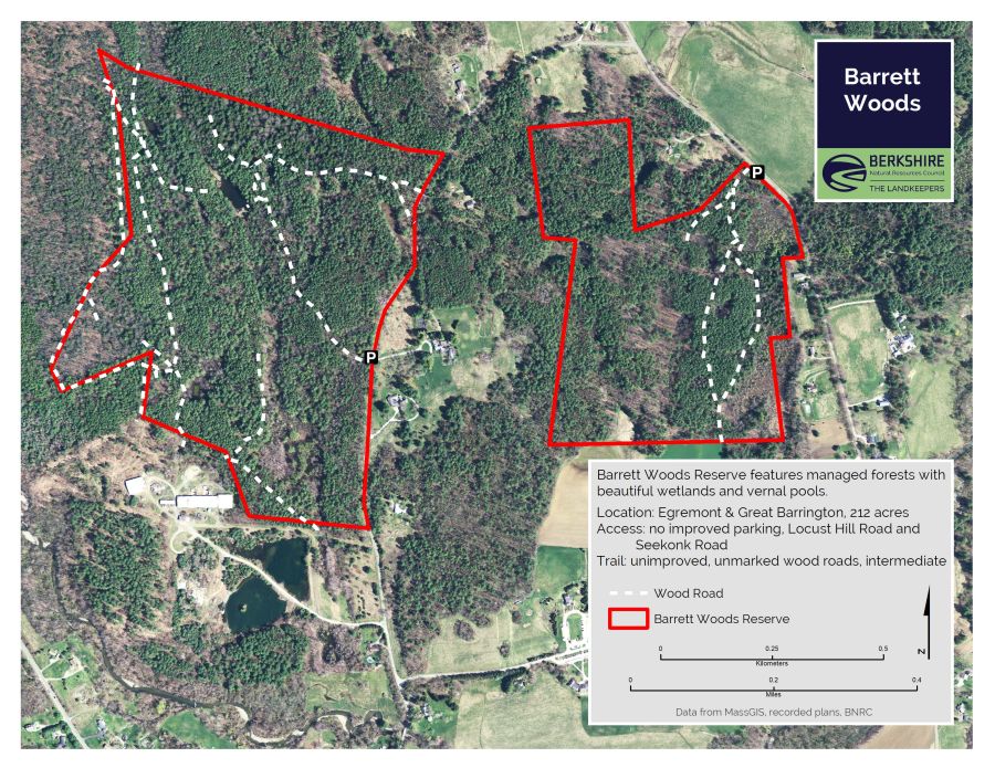 Barrett's WoodWood · 3.9 mi
 Clew Bay Heritage CentreMuseum · 3.9 mi
 Barrett's HillMountain / peak · 3.9 mi