What is recorded here
Indicated is a ruined stone ringfort on the lower slope of Maughanaclea Hills, overlooking Owngar River. Its collapsed wall still marks a narrow circular space where cultivation ridges once cut through the earth. The fort has lost much of its shape, but the remaining stones preserve the idea that people lived, worked and perhaps fled there before the land forgot them.
In pasture, on lower NW-facing slope of Maughanaclea Hills, above Owngar River. Roughly circular area (23.5m N-S; 22.5m E-W) enclosed by collapsed stone wall; survives best to NE and W (H 1.25m; Wth 2.9m). Cultivation ridges cross interior on NNW-SSE axis.
The above description is derived from the published 'Archaeological Inventory of County Cork. Volume 1: West Cork' (Dublin: Stationery Office, 1992). In certain instances the entries have been revised and updated in the light of recent research.
Date of upload/revision: 14 January 2009
The monument record does not grant public access. Check the route and ask the landowner before entering private land.
- What survives
- Recorded monument
Places near here
 St Finbarr's Pilgrim RouteWalking route · 365 yd
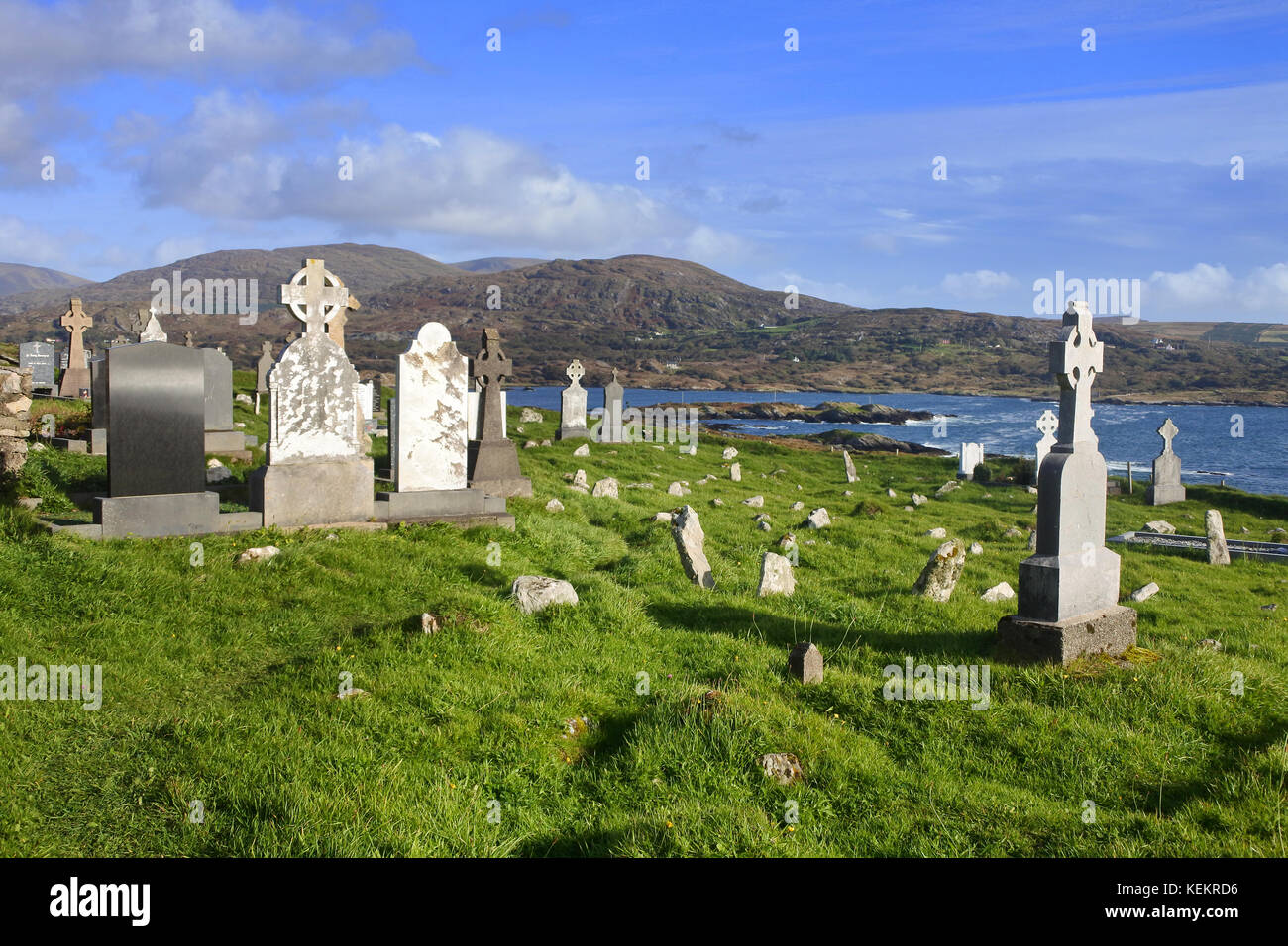 Burial Gd (Disused)Burial ground · 1024 yd
 CaveMan-made underground passage · 1028 yd
 MillMill, fulling · 1.4 mi
 Carding MillMill, carding · 1.4 mi
 Kealkill stone circleVisitor information · 2.4 mi
 Carriganass CastleCastle · 2.6 mi
 KnockbreteenMountain / peak · 2.7 mi
 Mullach MéiseMountain / peak · 3.2 mi
 Castle Donovan (in Ruins)Castle, tower house · 4.6 mi
 Delish Cascade WalkWalking route · 5.4 mi
 Gougane BarraValley and heritage place · 5.8 mi