What is recorded here
Indicated is a fairy fort in County Cavan, marked as a fort on maps from 1836 and 1876. Its stone rampart once stood 2.2m thick around a 28.4m circle, but a field boundary now cuts through the site and the smaller eastern portion has been levelled. The entrance has vanished, yet a low mound of earth and stone still traces the perimeter, holding the shape of a place people stopped seeing as whole.
Marked 'Fort' on OS 1836 and 1876 eds. Raised circular area (int. diam. 28.4m) enclosed by the base of a stone rampart (original Wth 2.2m) which has been modernised and incorporated into the field boundary. Original entrance not recognisable. The site is divided into two unequal portions by a field boundary running NW-SE. The smaller portion ENE of this has been levelled but the outline of the perimeter may still be traced as a low mound of earth and stone.
The above description is derived from the published 'Archaeological Inventory of County Cavan' (Dublin: Stationery Office, 1995). In certain instances the entries have been revised and updated in the light of recent research.
Date of upload/revision: 22 December 2008
The monument record does not grant public access. Check the route and ask the landowner before entering private land.
- What survives
- Recorded monument
Places near here
 Rocking StoneArchaeological place · 648 yd
 Druidical AltarArchaeological place · 1042 yd
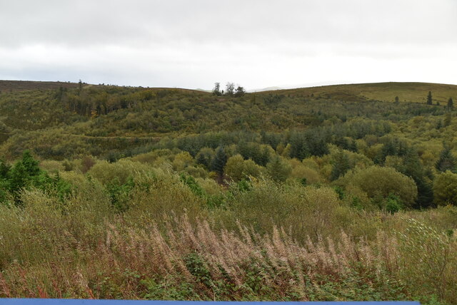 Cavan Burren ParkForest · 1262 yd
 Dolines/SinkholesCave · 1369 yd
 Boulder GraveyardArchaeological place · 1439 yd
 Cavan BurrenHeritage attraction · 1442 yd
 BurrenMountain / peak · 1525 yd
 Legnaveagh SinkholeCave · 1639 yd
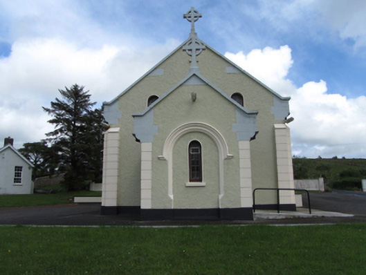 St Felim’s Roman Catholic Churchchurch/chapel · 1750 yd
 DerreenMountain / peak · 1.2 mi
 Marlbank ViewpointViewpoint · 1.5 mi
 SETTLEMENT: STONE ENCLOSURES [FIELD SYSTEM] AND HOUSE PLATFORMS in ClyhannaghSETTLEMENT: STONE ENCLOSURES [FIELD SYSTEM] AND HOUSE PLATFORMS · 2.1 mi