What is recorded here
Indicated is a fairy fort in County Mayo, Ireland, where the earth still holds the shape of a ring. It may have been a human home, a boundary marker or a forgotten shrine before becoming a fairy fort in local memory. The name suggests a place shown rather than hidden, as if the land still points back at the person looking for it.
The Archaeological Survey of Ireland (ASI) is in the process of providing information on all monuments on The Historic Environment Viewer (HEV). Currently the information for this record has not been uploaded. To access available information for research purposes please make an appointment in advance with the Archive Unit (open Fridays 10.00 am – 5.00 pm), Department of Housing, Local Government and Heritage, The Custom House, Dublin 1 D01W6XO or email NMarchive@housing.gov.ie.
The monument record does not grant public access. Check the route and ask the landowner before entering private land.
- What survives
- Recorded monument
Places near here
 IndicatedFairy fort / earthen ringfort · 459 yd
 French Hill MonumentMemorial · 761 yd
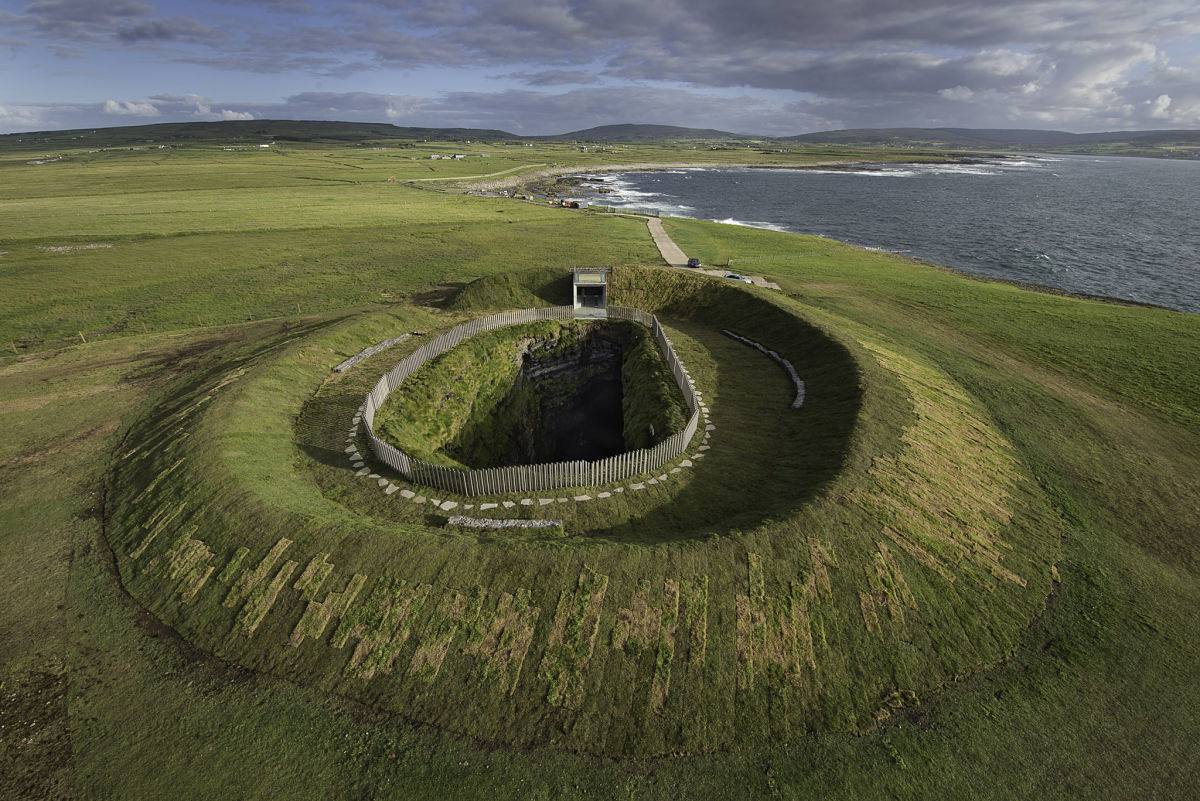 Enclosure in Buncam NorthEnclosure · 872 yd
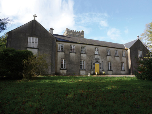 Errew Monasterymonastery · 1.1 mi
 Kinturk CastleCastle · 1.6 mi
 Elmhall Church in ruinsChurch · 1.9 mi
 Breaffy WoodsWood · 2.2 mi
 Black mulberryBlack mulberry · 2.5 mi
%20(1).jpg) Guesdian CastleCastle · 3.2 mi
Guesdian CastleCastle · 3.2 mi 1798 MemorialMemorial · 3.3 mi
 Battle of CastlebarMajor battlefield · 3.7 mi
 Ballintubber AbbeyHeritage attraction · 3.8 mi