What is recorded here
On a low rise in pasture. Depicted as a circular enclosure, divided into roughly equal portions by a NW–SE field boundary, on the 1837 edition of the OS 6-inch map. On the 1914 edition its outline is depicted from S-W-NE. The monument is not visible at ground level.
Compiled by: Patrick F. O'Donovan
Date of upload: 2 February 2012
The monument record does not grant public access. Check the route and ask the landowner before entering private land.
- What survives
- Recorded monument
Places near here
 IndicatedFairy fort / earthen ringfort · 452 yd
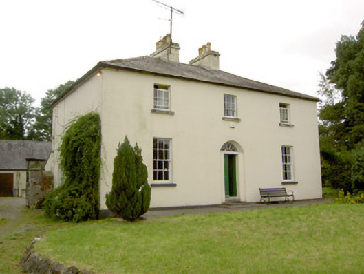 Rathcline Glebe Houserectory/glebe/vicarage/curate's house · 1.1 mi
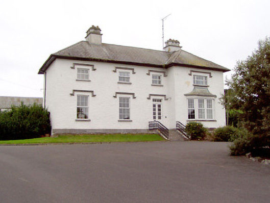 Rathcline Househouse · 1.1 mi
 White Sand WoodWood · 1.2 mi
 Rathcline CastleBawn · 1.2 mi
 Cross in Glebe (rathcline By., Rathcline Ed)Cross · 1.3 mi
 Wild birdsVisitor information · 1.7 mi
 Ballyclare IslandIslet · 1.9 mi
 Commons North WalkVisitor information · 2.0 mi
 Goat's IslandIslet · 2.4 mi
 Caltragh CastleCastle, unclassified · 3.3 mi
 Elfeet BayBay · 4.7 mi