What is recorded here
At W end of low rise, in undulating pasture. Roughly circular area (19.5m NW-SE) enclosed by earthen bank (int. H 0.6m; ext. H 0.9m) with noticeable flattened top (Wth 0.6m). Site is covered by overgrowth of trees and bushes, especially dense on W side. Field boundaries abut enclosure at N, S and NNW. Immediately outside bank at NW is small shed, the construction of which removed parts of exterior face of bank on that side.
Compiled by: Denis Power
Date of upload: 26 August 2011
The monument record does not grant public access. Check the route and ask the landowner before entering private land.
- What survives
- Recorded monument
Places near here
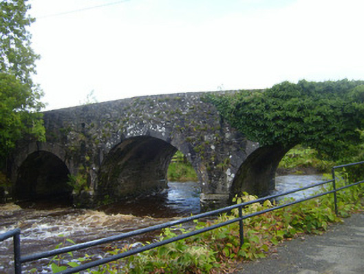 bridgebridge · 1490 yd
 Enclosure in Loghill (shanid By.)Enclosure · 1632 yd
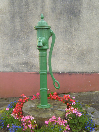 water pumpwater pump · 1657 yd
 Fulacht fia in FinnooFulacht fia · 1756 yd
 Loghill HoCastle, unclassified · 1.7 mi
 Prospect HillMountain / peak · 1.8 mi
 TobercloonaghSpring · 2.2 mi
 Monterey CypressMonterey Cypress · 2.6 mi
 Castle (Site of)Castle, unclassified · 2.8 mi
 Mountshannon PointHeadland · 3.7 mi
 Mountshannon WoodWood · 3.9 mi
 Boatman's PointHeadland · 4.0 mi