What is recorded here
This enclosure is shown on the 1838 OS 6-inch map as a circular embanked enclosure, with the townland boundary respecting the curve of the bank at NE−SW; it is outlined by a solid line on the 1930 edition, appearing as a roughly circular enclosure (diam. 25-30m), incorporated into a system of field boundaries, which radiate from it at N, NE, SW and W. The enclosure was levelled during land reclamation works in the late 1950’s.
Compiled by: Jane O'Shaughnessy
Date of upload: 6 February 2018
The monument record does not grant public access. Check the route and ask the landowner before entering private land.
- What survives
- Recorded monument
Places near here
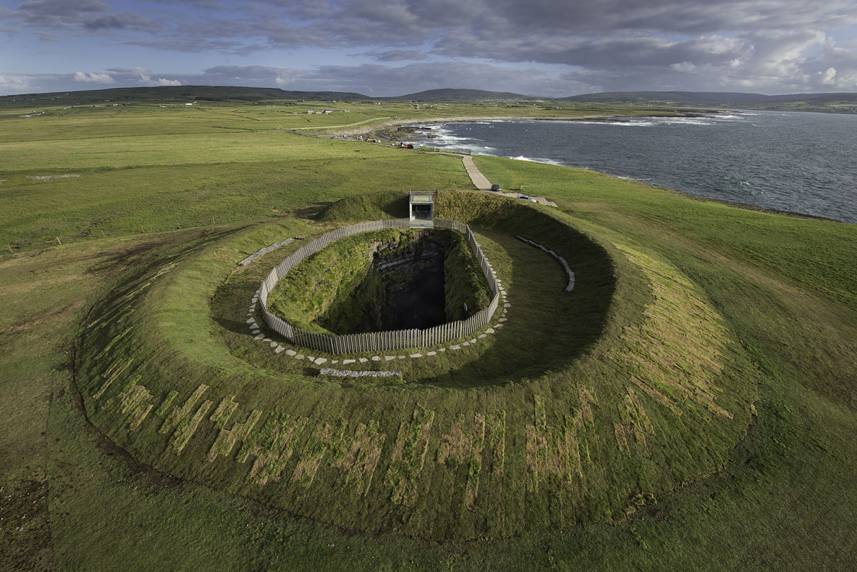 Enclosure in Buncam NorthEnclosure · 409 yd
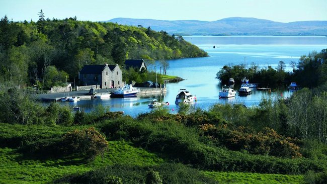 IndicatedEnclosure · 677 yd
 French Hill Monumentmonument · 1740 yd
 Kinturk CastleCastle · 1.3 mi
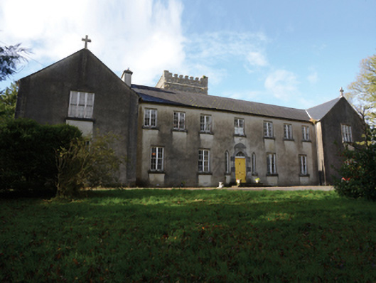 Errew Monasterymonastery · 1.3 mi
 Breaffy WoodsWood · 2.5 mi
 Black mulberryBlack mulberry · 2.8 mi
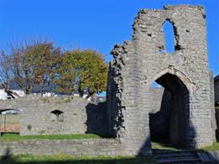 Barry CastleRuins · 3.1 mi
 Saint John Baptist de La SalleMemorial · 3.2 mi
 Battle of CastlebarMajor battlefield · 3.4 mi
 Maria Browne O'DonelMemorial · 3.7 mi
 Ballintubber AbbeyHeritage attraction · 3.8 mi