What is recorded here
Indicated occupied rolling Mayo countryside as a ringfort-like enclosure twenty-five to thirty metres wide, visible on maps from 1838 to 1919. By 1997 the earthworks had been levelled, leaving no trace above ground. Whatever life moved inside that circle was erased before anyone could walk it again.
Situated in rolling countryside. Shown on the 1838 and 1919 OS 6-inch maps as a ringfort-like enclosure (diam. 25-30m). When inspected in 1997, it was found that the enclosure had been levelled; there are no remains now visible at ground level.
Compiled by: Jane O'Shaughnessy
Date of upload: 6 February 2018
The monument record does not grant public access. Check the route and ask the landowner before entering private land.
- What survives
- Recorded monument
Places near here
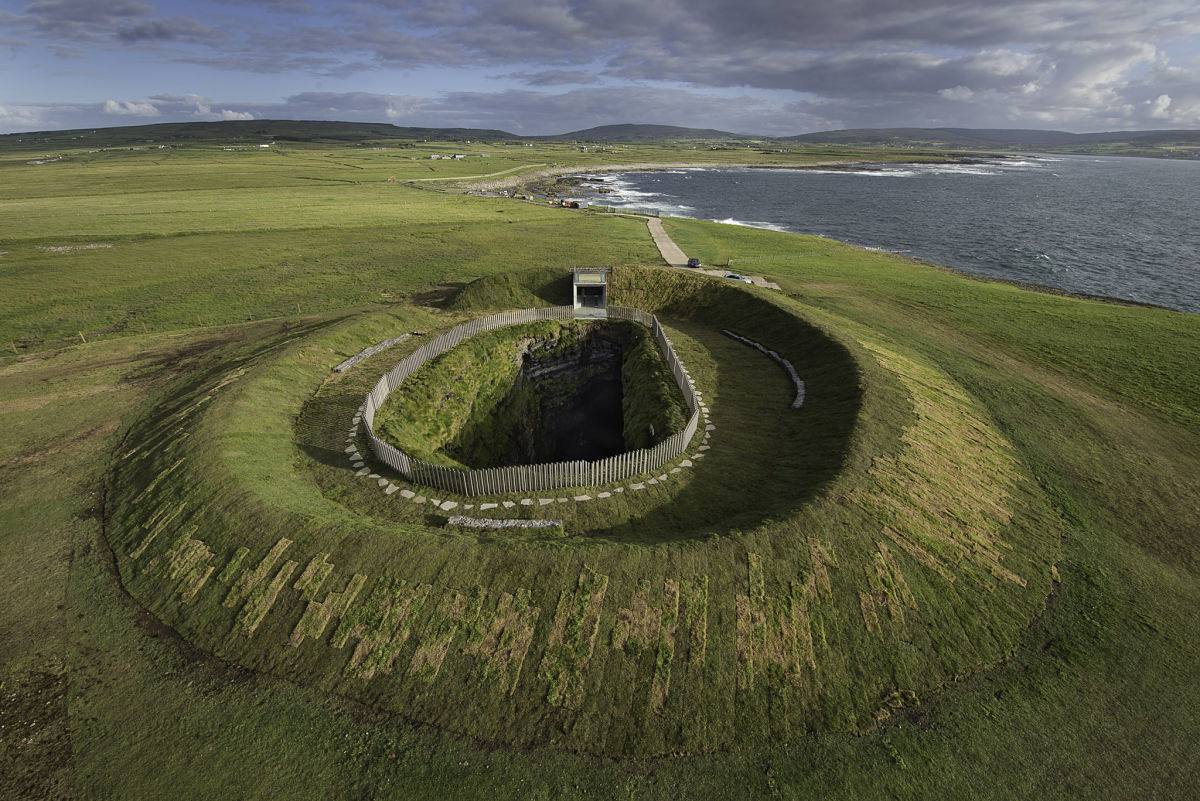 Enclosure in Buncam NorthEnclosure · 503 yd
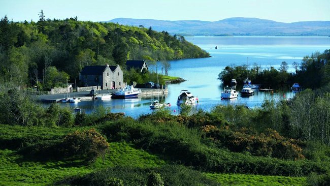 IndicatedEnclosure · 980 yd
 French Hill MonumentMemorial · 1460 yd
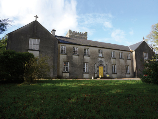 Errew Monasterymonastery · 1.4 mi
 Kinturk CastleCastle · 1.5 mi
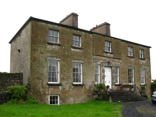 Hawthorn Lodgecountry house · 1.9 mi
 Breaffy WoodsWood · 2.3 mi
 Black mulberryBlack mulberry · 2.6 mi
 Garden of RemembranceMemorial · 2.9 mi
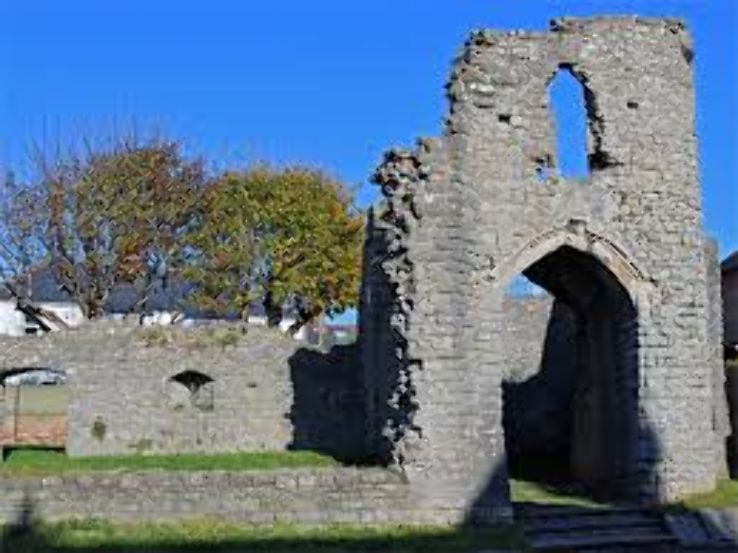 Barry CastleRuins · 3.0 mi
 Battle of CastlebarMajor battlefield · 3.3 mi
 Ballintubber AbbeyHeritage attraction · 3.9 mi