What is recorded here
In reclaimed pasture, straddling a gentle S-facing slope.
This rath is not indicated on the 1838 OS 6-inch map; it is shown on the 1915 edition as a hachured circular enclosure. When inspected in 1984, it consisted of a circular area (diam. 28m E-W) enclosed by a substantial earthen bank (H 2-2.5m) with no indications of a fosse (SMR file). There was no trace of graves associated with traditional use of the rath as a children's burial ground (MA119-001003-). Possible earthworks (MA119-001002-) were noted in the field to SW of the rath.
The rath was levelled during land reclamation in the late 1980’s/early 1990’s. When inspected in 2000, the ephemeral outline of a levelled bank could still be traced NW–NE, and at SE-S where it merges with a natural break of slope.
Compiled by: Jane O’Shaughnessy
Date of upload: 30 May 2023
The monument record does not grant public access. Check the route and ask the landowner before entering private land.
- What survives
- Recorded monument
Places near here
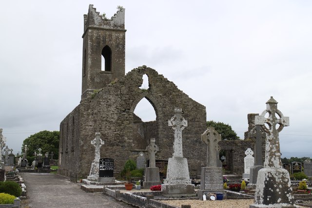 Church ruinChurch · 589 yd
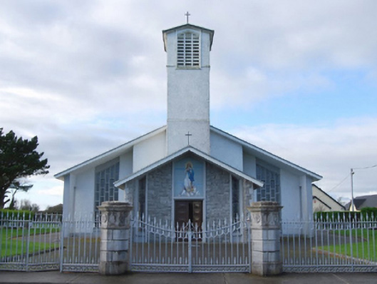 Catholic Church of the Immaculate Conceptiongates/railings/walls · 636 yd
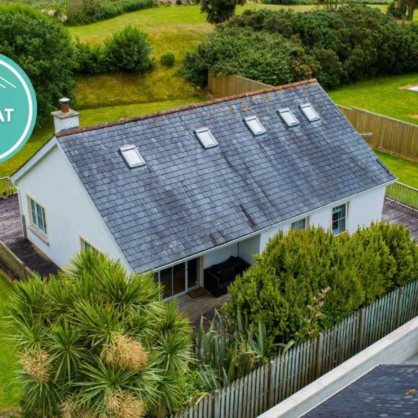 IndicatedFairy fort / earthen ringfort · 1207 yd
 Enclosure in Boleymeelagh,cregduff (kilmaine By., Kilcommon Par.)Enclosure · 1304 yd
 Bunacrower CastleCastle · 1.8 mi
 Castle (ruin)Castle, unclassified · 2.6 mi
 SycamoreSycamore · 2.8 mi
 European YewEuropean Yew · 4.6 mi
 Creevagh IslandIslet · 6.8 mi
 Gibbs IslandsIslet · 9.7 mi
 Mass RockNamed rock · 10 mi
 School of FalconryHeritage attraction · 11 mi