
What is recorded here
In pasture, located on a low elevation with a gentle fall of ground to SE towards a stream. Good views generally over gently undulating pasture and bog. Shown on the 1837 OS 6-inch map as a D-shaped enclosure, truncated on the straight side to NW by a road. No visible trace. A low rise in the field appears to mark the original location but the outline of an enclosure can not be discerned. The location is remembered locally as the site of a ‘fort’.
Compiled by: Jane O'Shaughnessy
Date of upload: 12 February 2014
This remains an important historical record, but the official description says the monument is no longer visible or has been destroyed. The monument record does not grant public access. Check the route and ask the landowner before entering private land.
- What survives
- No visible remains or recorded as destroyed
Places near here
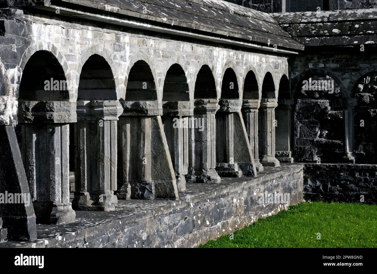 IndicatedEnclosure · 307 yd
 Enclosure in OldcastleEnclosure · 1527 yd
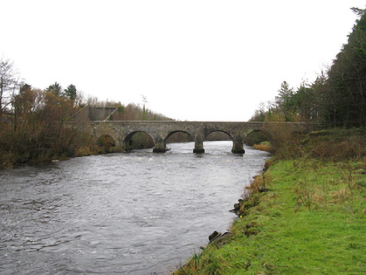 Cloongullaun Bridgebridge · 1.1 mi
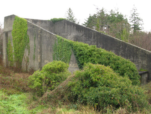 handball alleyhandball alley · 1.1 mi
 Hennigan's Heritage CentreHeritage attraction · 2.1 mi
 Castle (in Ruins)Castle, unclassified · 2.1 mi
 HawthornHawthorn · 2.2 mi
 Youth Memorial GardenMemorial · 2.4 mi
 Bawn in ToomoreBawn · 2.6 mi
 Procession Of The SoulsMemorial · 2.8 mi
 Brabazon WoodsForest · 2.9 mi
 Thorn CaveCave · 3.9 mi
Other information
Photo: Credit not shown in the picture search · Rights wording not checked; contact us if this picture should be removed