What is recorded here
Situated on a level landscape, at the crest of a slight slope down to the NW-SE River Blackwater, which is c. 100m to the N. The house (ME025-009002-) is c. 70m to the NW. This is a rectangular structure (ext. dims 6.7m NW-SE; 4.7m NE-SW) with a round-arched entrance (Wth 2.8m) on the SW side. The entrance passage has a barrel-vault and a doorway in the SE pier leads to a newel stairs. The chamber above has single lights on the NW and SW sides.
The above description is derived from the published 'Archaeological Inventory of County Meath' (Dublin: Stationery Office, 1987). In certain instances the entries have been revised and updated in the light of recent research.
Compiled by: Michael Moore
Date of revision: 28 June 2016
The monument record does not grant public access. Check the route and ask the landowner before entering private land.
- What survives
- Recorded monument
Places near here
 Liscartan CastleCastle, tower house · 115 yd
 Church (in Ruins)Church · 201 yd
 Rathaldron Ho.Castle, tower house · 522 yd
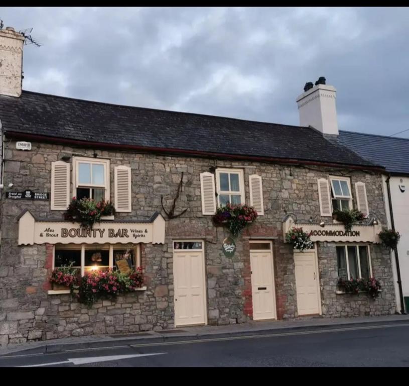 ToberdoneyHoly well · 1239 yd
 Old CrossCross, Wayside cross · 1255 yd
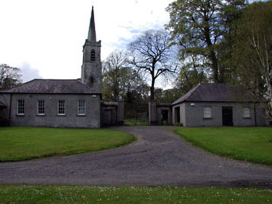 Ardbraccan National Schoolschool · 1.0 mi
 Nangle CourtMemorial · 1.4 mi
 DurhamstownMountain / peak · 1.7 mi
 The RampartWood · 2.2 mi
 BohermeenMountain / peak · 2.3 mi
 The New Line RoadMemorial · 2.4 mi
 Donaghmore Round TowerHeritage attraction · 2.7 mi