What is recorded here
In improved pasture, located on the former estate lands of Netley House, in an area designated Netley Park on the 1838 OS 6-inch maps. Listed in the RMP (1996) as a possible enclosure. This is one of a cluster of three features which are shown on the 1838 OS 6-inch map as circular enclosures (diam. c. 15-20m), ringed with trees, and on the 1922 edition merely as clusters of trees. The two other features (MA029-014002- ; MA029-014003-) are located c. 30m to NW and c. 50m to N, respectively. On inspection in 1995, the barely discernible outline of this feature could still be traced and it was considered to be the remains of a tree ring. Given their representation on the OS maps as encircled by trees, and their clustering on the demesne of Netley House, interpretation as designed landscape features appears consistent with the evidence.
Compiled by: Jane O'Shaughnessy
Date of upload: 29 January 2015
The monument record does not grant public access. Check the route and ask the landowner before entering private land.
- What survives
- Recorded monument
Places near here
 Netley Housecountry house · 312 yd
 IndicatedFairy fort / earthen ringfort · 601 yd
 RathnamuffFairy fort / earthen ringfort · 1294 yd
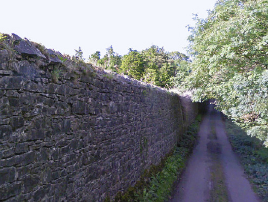 Greenwoodwalled garden · 1338 yd
 Deel CastleCastle · 2.7 mi
 CastleCastle, tower house · 2.8 mi
 Battle of Ballinabattle · 5.1 mi
 Battle of Killalabattle · 5.3 mi
 Grave of the KingsArchaeological place · 5.6 mi
 Green IslandIslet · 5.7 mi
 Moyne AbbeyHeritage attraction · 5.9 mi
 Gortabradawn PointHeadland · 6.0 mi