What is recorded here
Listed in both the SMR (1989) and RMP (1995) and classified as 'Field System'. A number of roughly parallel walls which extend upslope on a roughly N-S axis (as indicated on the 1837 edition of the OS 6-inch map) are crossed on an E-W axis by numerous drystone walls and form small rectangular fields (as indicated on the 1913 edition of the OS 6-inch map). The fields are associated with a number of ruined rectangular stone-built huts and houses. Many of the fields are laid out to conform with the natural terraces of the mountain slope. Two passageways, flanked by stone walls, follow a curving roughly N-S line through the fields. There are three enclosures for holding animals (SL019-161001-, SL019-161002-, SL019-161003-) and a rath (SL019-162----) within the field system. Upon inspection in 1994 it was concluded that the field system and the enclosures for holding animals noted above, date to the post-1700 period.
Compiled by: Archaeological Survey Unit, UCC
Date of upload: 21 November 2011
The monument record does not grant public access. Check the route and ask the landowner before entering private land.
- What survives
- Recorded monument
Places near here
 Fairy fort / earthen ringfort in LarkhillFairy fort / earthen ringfort · 116 yd
 Enclosure in LarkhillEnclosure · 182 yd
 DoomoreMountain / peak · 1550 yd
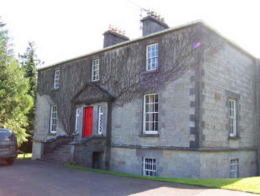 Toberfeckin Houserectory/glebe/vicarage/curate's house · 1644 yd
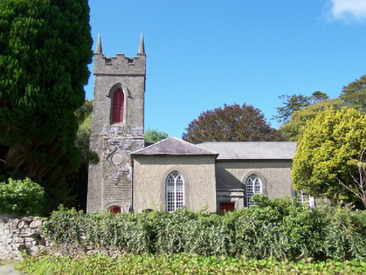 Christ Church (Dromard)church/chapel · 1.2 mi
 Derinch PointHeadland · 1.7 mi
 RinnatalleenHeadland · 1.8 mi
 Tullaghan HillMountain / peak · 1.8 mi
 European ashEuropean ash · 1.8 mi
 Bawn in Tanrego WestBawn · 1.8 mi
 Giant's GraveArchaeological place · 2.5 mi
 Lahanacappul IslandIslet · 2.8 mi