
What is recorded here
Situated at the crest of the SE-facing slope of a drumlin. It is depicted as an oval enclosure on the 1834 edition of the OS 6-inch map and as a hachured feature on the 1907 edition. It was described in 1942 as a circular area defined by an earthen bank that had been converted into a stockyard (SMR file). It was recorded in 1947 (OSFM) as a circular enclosure (diam. c. 29-30m) defined by an earthen bank (Wth c. 2-3.5m; H c. 1m). The location of the monument is now occupied by a bungalow.
The above description is derived from the published 'Archaeological Inventory of County Monaghan' (Dublin: Stationery Office, 1986). In certain instances the entries have been revised and updated in the light of recent research.
Date of revision: 26 January 2018
Revised by: Michael Moore
The monument record does not grant public access. Check the route and ask the landowner before entering private land.
- What survives
- Recorded monument
Places near here
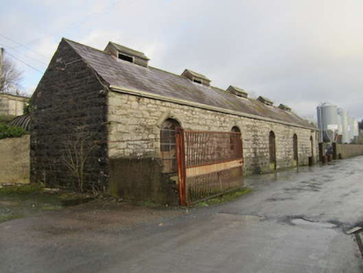 store/warehousestore/warehouse · 471 yd
 Catholic Church of the Sacred Heartchurch/chapel · 525 yd
 Bawn in CrossmoyleBawn · 684 yd
 CrossCross, High cross · 731 yd
 Crannog in Clonkeen (cole)Crannog · 750 yd
 Abbey RuinsHeritage attraction · 828 yd
 The Cassandra Hand CentreMuseum · 855 yd
 CastleCastle, motte and bailey · 932 yd
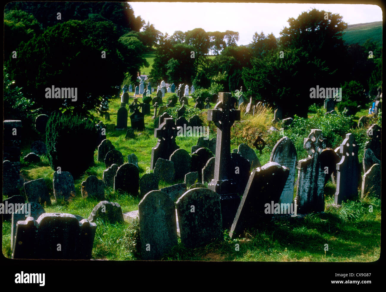 Clontivrin Grave YardArchaeological place · 1.5 mi
 Saint John's WellSpring · 1.8 mi
 European YewEuropean Yew · 2.0 mi
 KillycoonaghWood · 2.0 mi
Other information
Photo: Credit not shown in the picture search · Rights wording not checked; contact us if this picture should be removed