What is recorded here
Indicated was a circular fairy fort on a Birch Hill in County Cork, wide enough to circle twice before the quarry destroyed it around 1982. The western gap may have been an entrance, a wound, or simply the shape the land remembered. People walked past that hill for generations, knowing the fort without naming it, until the stones disappeared and only the story remained.
On top of a Birch Hill. Marked as circular enclosure (diam. c. 45m) on 1842 OS 6-inch map; 1901 and 1936 OS 6-inch map show roughly circular enclosure with large gap to W. Destroyed due to quarrying c. 1982. Locally known as site of "fort".
The above description is derived from the published 'Archaeological Inventory of County Cork. Volume 2: East and South Cork' (Dublin: Stationery Office, 1994). In certain instances the entries have been revised and updated in the light of recent research.
Date of upload/revision: 14 January 2009
The monument record does not grant public access. Check the route and ask the landowner before entering private land.
- What survives
- Recorded monument
Places near here
 IndicatedFairy fort / earthen ringfort · 705 yd
 Folacht FiannFulacht fia · 750 yd
 KilnKiln, lime · 1.0 mi
 Curragh WoodsWood · 1.4 mi
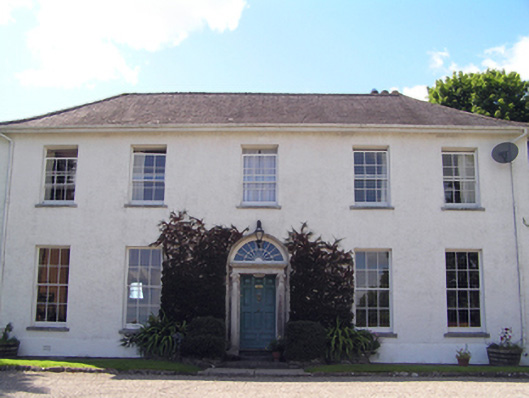 Glenviewcountry house · 1.4 mi
 Leamlara Castle (in Ruins)Castle, tower house · 1.6 mi
 Barryscourt CastleCastle · 3.0 mi
 Barrys Court Castle, Tower(s)Castle, tower house · 3.0 mi
 Graveyard in Broomfield WestGraveyard · 3.2 mi
 Nellie Cashman MonumentMemorial · 3.8 mi
 Harper's IslandIslet · 4.0 mi
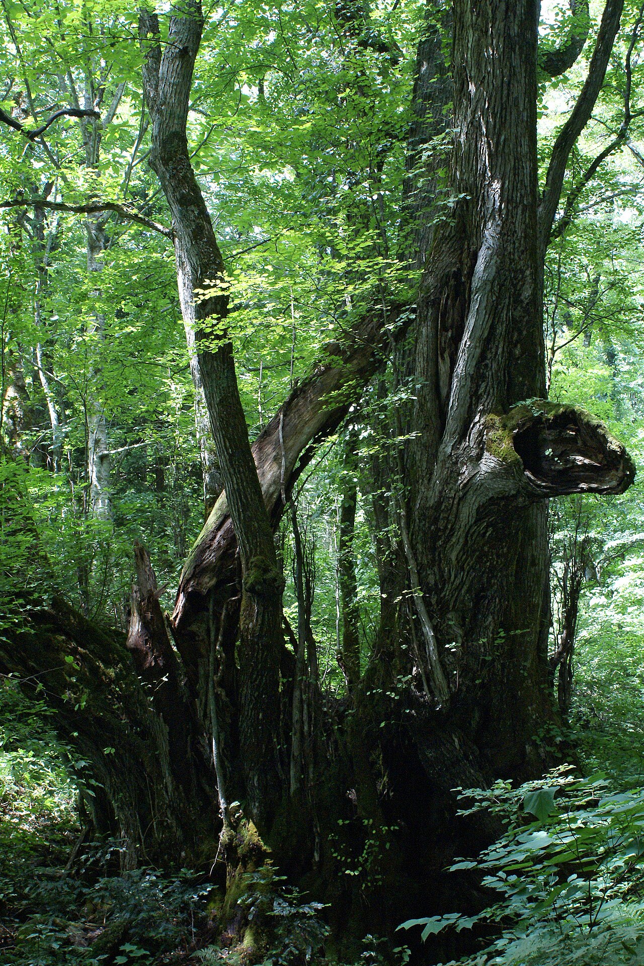 Katsura treeKatsura tree · 4.0 mi