What is recorded here
Indicated is a small tree-covered crannog at the east edge of Lough More in County Clare, Ireland. It circles thirty metres across and floats thirty-three metres from the shore, visible in satellite imagery and marked on every map. The island has watched boats, storms and human ambition for centuries. It may have been a home, a shrine or a boundary marker, but its shape still resists forgetting.
At the E extent of Lough More. A small subcircular tree-covered island (diam. c. 20m) indicated on all OS map editions and lying c. 33m from the E shore. Visible on Google Earth (imagery date 15 April 2020) and reported by Jean-Charles Caillère (March 2024).
Compiled by: Mary Tunney
Date of upload: 12 November 2025
The monument record does not grant public access. Check the route and ask the landowner before entering private land.
- What survives
- Recorded monument
Places near here
 Reanlassa FortFairy fort / earthen ringfort · 703 yd
 IndicatedEnclosure · 1721 yd
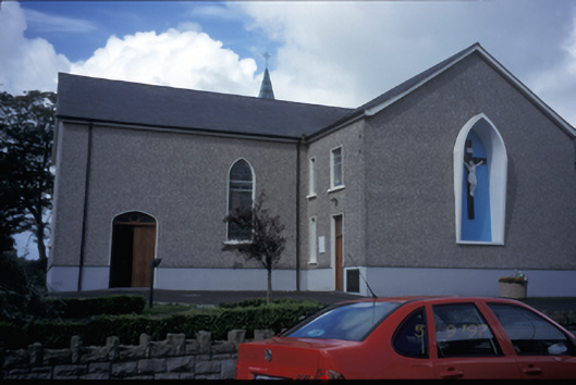 Catholic Church of Saint Michael the Archangelchurch/chapel · 1.0 mi
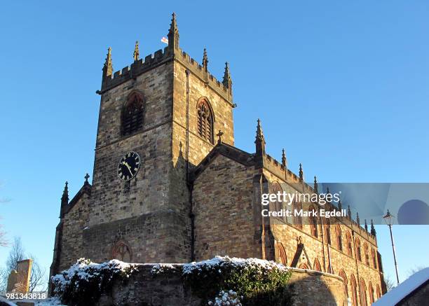 St Michaels Church (in Ruins)Church · 1.0 mi
 Knockalough Castle (in Ruins)Castle, unclassified · 1.3 mi
 Cahermurphy Castle (in Ruins)Castle, tower house · 1.4 mi
 Crag WoodWood · 6.4 mi
 Clonderalaw BayBay · 7.4 mi
 SlievecallanMountain / peak · 7.9 mi
 St Senan's WellSpring · 8.0 mi
 Doughmore BeachBeach / strand · 8.7 mi
 Emlagh PointHeadland · 9.3 mi