What is recorded here
Indicated is a fairy fort in County Cork, Ireland. A man-made underground passage cuts through the centre of the ring, while a stone wall blocks the southern gap. The earth was shaped to hold a living space on a sloping field, and the hidden passage still invites people to wonder what it served.
In pasture, on S-facing slope. Circular, slightly raised area (27.2m N-S; 28.3m E-W) enclosed by earthen bank (H 1.35m). Gap in bank (Wth 4.5m) to S, blocked by stone wall. Interior raised on S side to compensate for hillslope; Man-made underground passage (CO122-007005-) in centre.
The above description is derived from the published 'Archaeological Inventory of County Cork. Volume 1: West Cork' (Dublin: Stationery Office, 1992). In certain instances the entries have been revised and updated in the light of recent research.
Date of upload/revision: 14 January 2009
The monument record does not grant public access. Check the route and ask the landowner before entering private land.
- What survives
- Recorded monument
Places near here
 Hut site in Knocks (carbery East (e.d) By.)Hut site · 421 yd
 Church in Knocks (carbery East (e.d) By.)Church · 476 yd
 IndicatedFairy fort / earthen ringfort · 850 yd
 Corran HillMountain / peak · 1.2 mi
 Castle DerryCastle · 1.2 mi
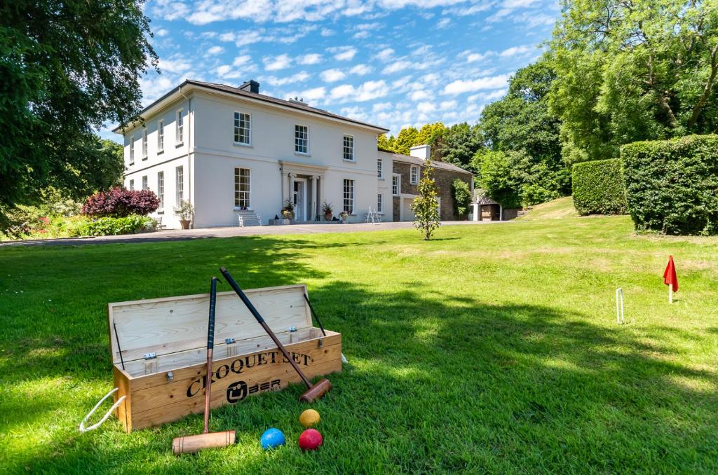 Country house in LiscubbaCountry house · 1.8 mi
 The GlenWood · 1.9 mi
 Fahanacowley Castle (Site of)Castle, unclassified · 2.1 mi
 Battle of the Big Cross (1798) Memorial MonumentMonument · 3.7 mi
 Irish National Forestry FoundationNature reserve · 3.9 mi
 Clonakilty Blackpudding Visitor CentreHeritage attraction · 5.1 mi
 Cloch na gCoillteMemorial · 5.1 mi