What is recorded here
In rough pasture on a shoulder of land on the lower E slopes of Maghera with good views from NW to SE. Indicated on the OS 6-inch maps as a curving field boundary at the N extent of a field forming a roughly triangular area defined by straight field boundaries at NW and NE. A very regular overgrown flat-bottomed fosse (Wth of base 3.4m; ext. D 1.5m) extending E-W for 33m and curving to NE for 25m with an external bank (Wth 8.4m; max. ext. H 1.7m). There are no traces of the fosse or bank continuing beyond the present remains and there a no such traces on available aerial imagery (2024). As there is less material in the bank than what would have been derived from the fosse this may have been a quarry with some material taken away. It is however, locally regarded as a fort.
Compiled by: Mary Tunney
Date of upload: 19 November 2025
The monument record does not grant public access. Check the route and ask the landowner before entering private land.
- What survives
- Recorded monument
Places near here
 Enclosure in Caher (power)Enclosure · 1655 yd
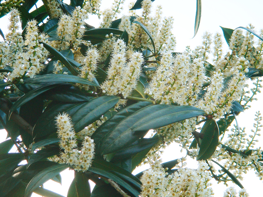 Cherry laurelCherry laurel · 1711 yd
 Japanese cedarJapanese cedar · 1746 yd
 IndicatedHilltop enclosure · 1.3 mi
 MagheraMountain / peak · 1.5 mi
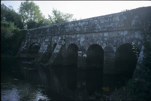 Bunshoon Bridgebridge · 1.8 mi
 Church (in Ruins)Church · 2.6 mi
 Bawn in Lecarrow UpperBawn · 4.2 mi
 Holly IslandIslet · 5.7 mi
 Swan IslandIsland · 5.9 mi
 Castle (in ruins)Castle, tower house · 6.0 mi
 KnocknarebanaMountain / peak · 6.8 mi