What is recorded here
This stone enclosure is located in marshy bogland on the lower SE slopes of Slievagh, overlooking Dingle Bay at N. The stone bank, marked as a small subcircular field on the second edition of the OS map, is somewhat angular in plan at NW. It encloses an area measuring 12m x 13m. A gap at NE, .85m wide, may represent an entrance. The wall is composed of large boulders which are occasionally arranged in a double line with an infill of small stones. It averages 1.3m in width and .75m in height. The overgrown interior of the site features a series of small amorphous earthen mounds.
The above description is derived from A. O'Sullivan and J. Sheehan (compilers), 'The Iveragh peninsula: an archaeological survey of South Kerry'. Cork University Press (1996), no. 756. In certain instances the entries have been revised and updated in the light of recent research.
Date of upload: 29 July 2013
The monument record does not grant public access. Check the route and ask the landowner before entering private land.
- What survives
- Recorded monument
Places near here
 SlievaghMountain / peak · 865 yd
 CastlequinMountain / peak · 1550 yd
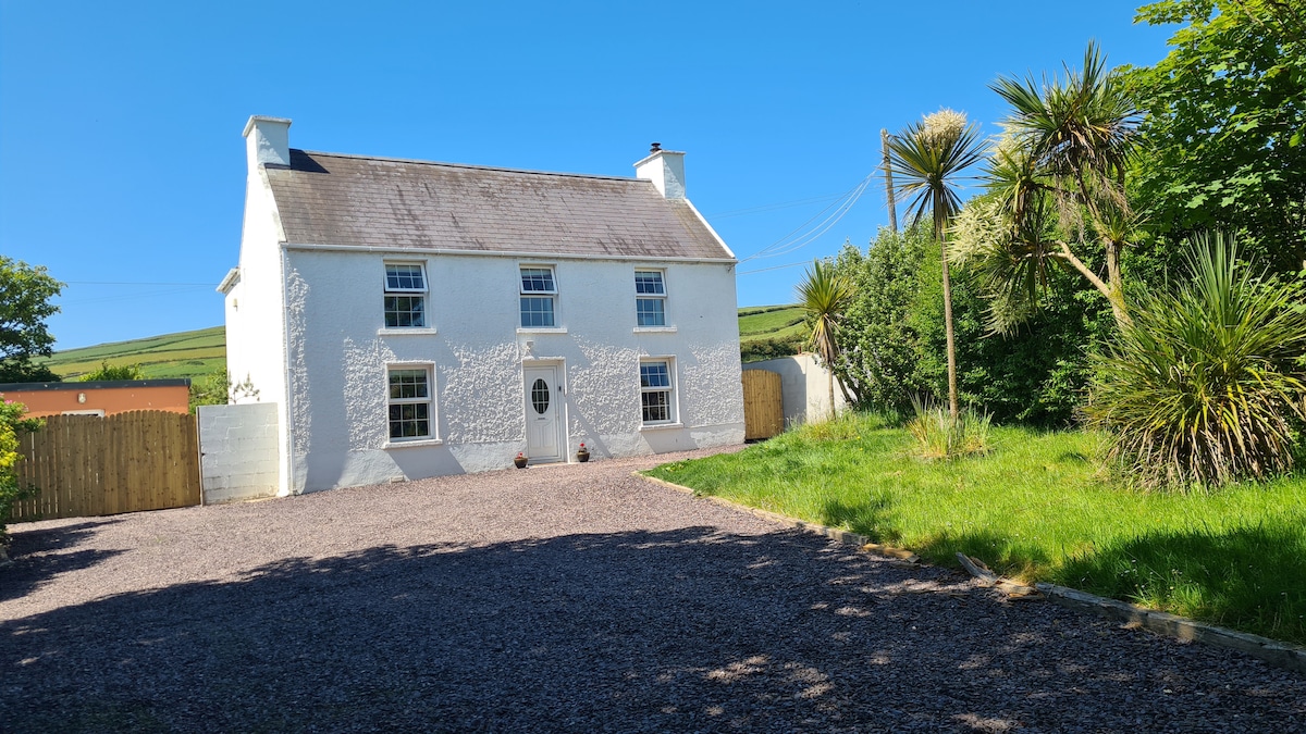 Enclosure in Kimego WestEnclosure · 1.1 mi
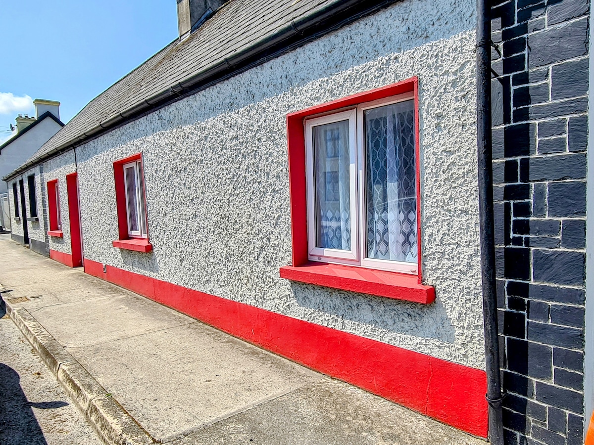 Hut site in CloghanelinaghanHut site · 1.2 mi
 KilnKiln, corn-drying · 1.9 mi
 Killobarnaun Oratory (in ruins)Church · 2.0 mi
 Ballycarbery CastleRuins · 2.5 mi
 OutlinedBawn · 2.5 mi
 Ballycarbery Castle (in ruins)Castle, hall-house · 2.5 mi
 Foughil IslandIslet · 2.6 mi
 White Strand BeachBeach / strand · 3.2 mi
 Laharn Bog LoopWalking route · 3.9 mi