What is recorded here
Indicated is a grassed ring-barrow in County Galway, a flat-topped mound twenty-one metres across where people were once buried. It still holds a shallow depression near its centre and a few trees at the north edge, while the surrounding bank has vanished without a trace. The land may have swallowed the boundary, but the barrow remains visible in the undulating grassland.
In undulating grassland. This ring-barrow is defined by a grassed-over flat-topped roughly circular mound of earth and stone (diam. c. 21.5m; H 0.9m). A shallow circular depression (diam. 1.5m) lies just W of its centre and a few trees are growing on it at N. According to local information, it was known as a burial place and it was formerly surrounded by a fosse or bank. No visible surface trace of the latter survives. (McCaffrey 1952, 18-19, 116, no. 27)
Compiled by: Galway Archaeological Survey, UCG
Date of upload: 14 November 2019
A Neolithic ring-barrow; significant as a rare and early form of burial monument in the Irish landscape.
The monument record does not grant public access. Check the route and ask the landowner before entering private land.
- What survives
- Recorded monument
Places near here
 Kiltullagh Castle (in ruins)Castle, tower house · 1491 yd
 Site of Castle ParkanassaCastle, unclassified · 1492 yd
 IndicatedFairy fort / stone ringfort · 1669 yd
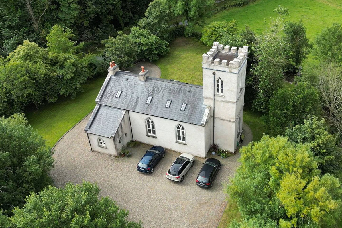 Enclosure in Kiltullagh (dunkellin By.)Enclosure · 1672 yd
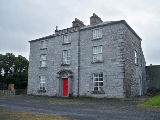 Rockwood Housecountry house · 1.6 mi
 Rocklawn Ho.Country house · 2.2 mi
 Aunteen WoodsWood · 2.7 mi
 Uncleen WoodsWood · 2.9 mi
 Royal Tara Visitor CentreHeritage attraction · 3.3 mi
 Ballyloughane BeachBeach / strand · 3.9 mi
 Rabbit IslandIslet · 3.9 mi
 Dead Mans BeachBeach / strand · 4.4 mi