
What is recorded here
Indicated is a fairy fort on a small drumlin in County Leitrim, Ireland. Its grass-covered stone ring measures twenty-seven metres east to west and twenty-five metres north to south, with facing stones still visible beneath the growth. A later field wall sits on top of the perimeter, and the original entrance has disappeared under grass, soil and time. The forest planted nearby went around it rather than through it, as if the land still knew the circle belonged to someone else.
Located on the NE-facing slope of a small drumlin. This is a grass and rush-covered circular area (int. diam. 27m E-W; 25m N-S) defined by a grass-covered and overgrown stone spread (Wth 1.5m at E to 4m at W; H 0.4m) with facing-stones intermittently visible. The original entrance is not identified, and a field wall (Wth c. 1m; H 1m) has been built on top of the perimeter. It has been excluded from a forest planted c. 2000 (Bing 2013).
The above description is derived from 'The Archaeological Inventory of County Leitrim' compiled by Michael J. Moore (Dublin: Stationery Office, 2003). In certain instances the entries have been revised and updated in the light of recent research.
Date of upload: 23 September 2008
The monument record does not grant public access. Check the route and ask the landowner before entering private land.
- What survives
- Recorded monument
Places near here
 Sweat Ho.Sweathouse · 93 yd
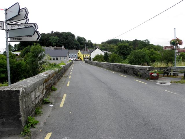 Dowra Bridgebridge · 860 yd
 Republican Garden of RemembranceMemorial · 993 yd
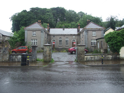 Dowra Court Housecourt house, garda station/constabulary barracks · 1003 yd
 Sweathouse in TullaghyrorySweathouse · 1303 yd
 CarrickbrannanMountain / peak · 1.2 mi
 Corrard ForestForest · 1.4 mi
 ArdlougherMountain / peak · 1.8 mi
 TobermurrySpring · 2.0 mi
 PlaygroudCliff · 2.1 mi
 Fahy RockIslet · 2.6 mi
 CarrignahastaCliff · 2.7 mi
Other information
Photo: Credit not shown in the picture search · Rights wording not checked; contact us if this picture should be removed