What is recorded here
Indicated is a granite crannog sitting 180m out in Lough Oughter, wrapped in soft peat and marked by two rings of close-set piles. Local tradition claims monks from Trinity Island used it as a fishing station, a plausible thought given the ox bones and teeth scattered along its beach. The island still holds a broad low cairn at its northern end, waiting for someone to remember why it was built.
Situated in Lough Oughter, 180m from the shoreline. Recorded by Davies (ITA Survey 1942). Surrounded by a very soft peaty foreshore, the island is large and comprises a low ridge of granite. At its N end it rises about 1.2m above water-level at which point there is a cairn (diam. 27.4m; H 1.2m). There are two rings of close-set piles on the peaty foreshore, the outer piles being c. 0.9m apart and between 13.7m and 18.2m from the edge of the rock. Additional horizontal piles, which may be fallen trees, lie around these. Ox teeth and bones were found on the beach. Tradition that the island was used as a fishing station by the monks of Trinity Island (CV020-077001-).
The above description is derived from the published 'Archaeological Inventory of County Cavan' (Dublin: Stationery Office, 1995). In certain instances the entries have been revised and updated in the light of recent research.
Date of upload/revision: 22 December 2008
The monument record does not grant public access. Check the route and ask the landowner before entering private land.
- What survives
- Recorded monument
Places near here
 Cross in Trinity IslandCross · 638 yd
 Abbey FieldChurch · 1118 yd
 Trinity Island WoodForest · 1228 yd
 IndicatedFairy fort / earthen ringfort · 1476 yd
 CaldraghChurch · 1.1 mi
 Danesfort DemesneWood · 1.2 mi
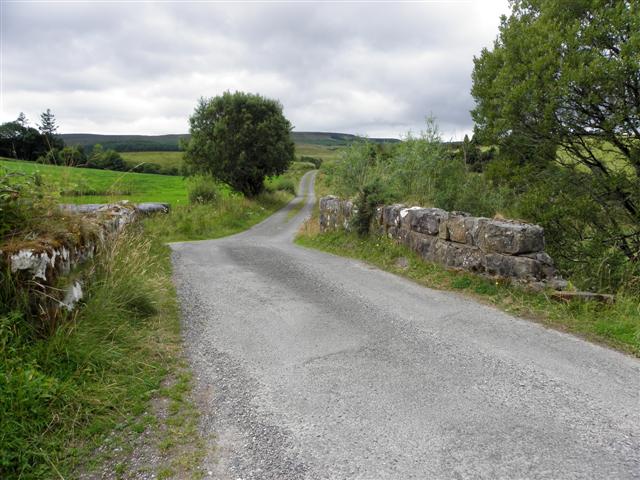 Derries UpperMountain / peak · 1.6 mi
 CastleCastle, motte and bailey · 1.7 mi
 Inch IslandIslet · 1.8 mi
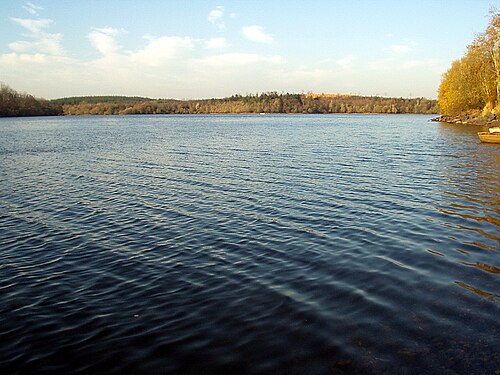 Lough OughterLake and island landscape · 1.8 mi
 Killykeen Forest ParkForest · 1.8 mi
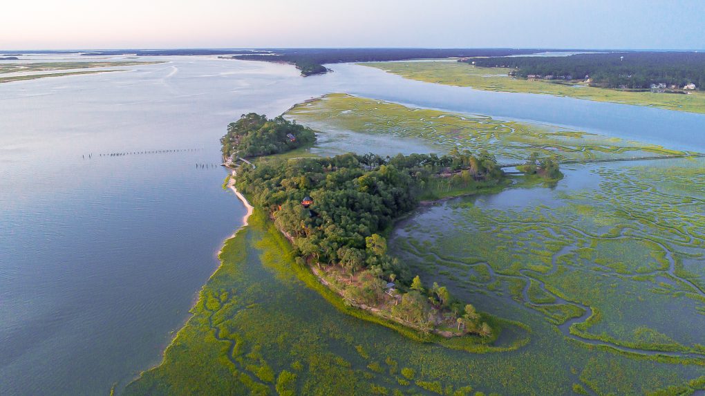 Buck IslandIslet · 1.9 mi