What is recorded here
Test trenching in June 2014 in advance of a proposed graveyard extension to the NW of Killuran church and graveyard (CL036-024001- and CL036-024002-) (licence no. 14E0149) revealed a series of ditches and pits within the proposed development area. The testing results, coupled with earlier geophysical survey and desk-based assessment indicated that a double-ditched enclosure (internal diam. c. 80m), probably early medieval in date, surrounds the location of the original church. The ditches had steep profiles, 0.9m in depth and 2.1-2.7m in width. Smaller gullies and a number of pits and post-holes were found within the enclosure. A bullaun stone (CL036-024003-) lies within the graveyard. (Taylor and Hull 2014)
Compiled by: Mary Tunney
Date of upload: 9 July 2014
A local fairy fort (ringfort/rath); wider significance not recorded.
The monument record does not grant public access. Check the route and ask the landowner before entering private land.
- What survives
- Recorded monument
Places near here
 Killuran Church (in ruins)Church · 13 yd
 Enclosure in KeelderryEnclosure · 960 yd
 Knockderry Fort/IndicatedEnclosure · 1285 yd
 Drimmeen Castle (in Ruins)Castle, tower house · 1345 yd
 DoonHeritage attraction · 1.6 mi
 Teerovannan Castle (in ruins)Castle, tower house · 1.8 mi
 Deerpark WoodForest · 2.0 mi
 Derrymore Housegate lodge · 2.2 mi
 Calluragh WoodForest · 2.2 mi
 Broadford Mass RockMemorial · 4.2 mi
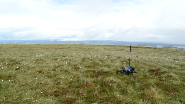 MoylussaMountain / peak · 5.1 mi
 Mass RockMemorial · 5.1 mi