
What is recorded here
Indicated was a fairy fort in West Cork, marked on the 1842 map but levelled in 1981. It sat on a north-facing slope where pasture still ripples from its forgotten shape. The land keeps the ghost of a circle even when human hands erase the edge.
In pasture, on N-facing slope. Marked as circular enclosure on O.S. map (1842). Levelled 1981-2; some undulating ground visible.
The above description is derived from the published 'Archaeological Inventory of County Cork. Volume 1: West Cork' (Dublin: Stationery Office, 1992). In certain instances the entries have been revised and updated in the light of recent research.
Date of upload/revision: 14 January 2009
The monument record does not grant public access. Check the route and ask the landowner before entering private land.
- What survives
- Recorded monument
Places near here
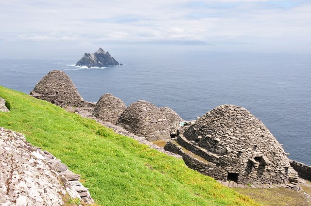 Keel MonasteryRuins · 700 yd
 Burial ground in Kill SouthBurial ground · 1061 yd
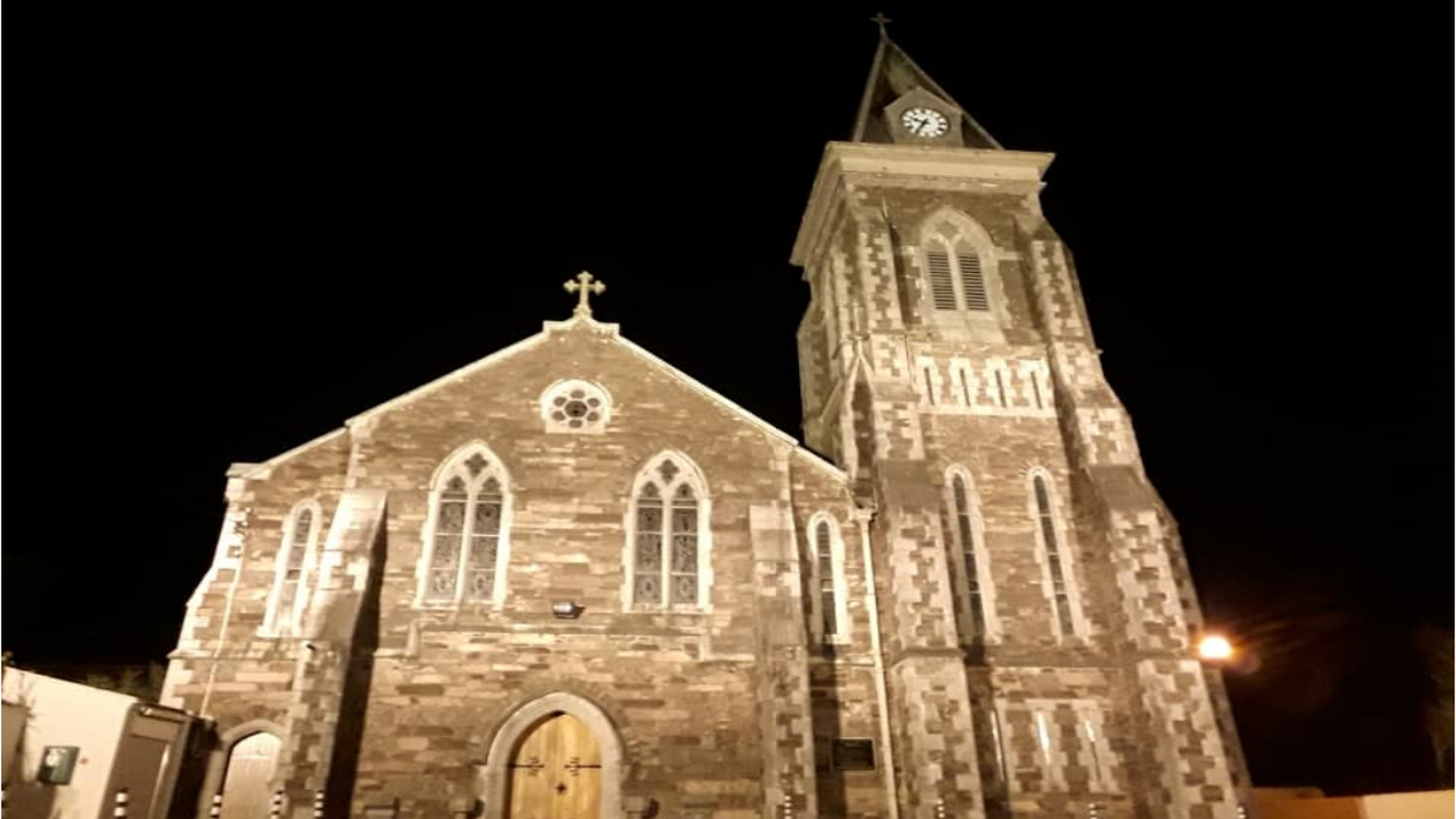 R. C. ChapelChurch · 1093 yd
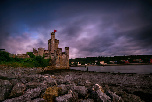 Fulacht fia in CastlederryFulacht fia · 1373 yd
 Castle DerryCastle · 1373 yd
 The GlenWood · 1.8 mi
 Tobar MacloonaboySpring · 2.1 mi
 Corran HillMountain / peak · 2.3 mi
 Fahanacowley Castle (Site of)Castle, unclassified · 3.7 mi
 Battle of the Big Cross (1798) Memorial MonumentMonument · 3.7 mi
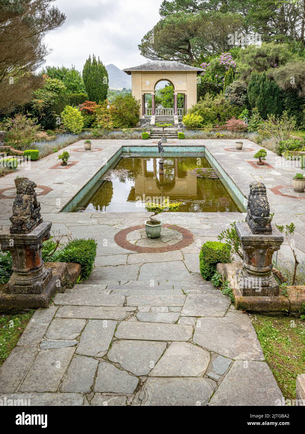 Garden WoodWood · 4.1 mi
 Graveyard in KilmalodaGraveyard · 4.3 mi
Other information
Photo: Credit not shown in the picture search · Rights wording not checked; contact us if this picture should be removed