What is recorded here
In level ground within grassland, located c. 200m S of Kilcooly Abbey. The fish-pond consists of a long rectangular pond (dims. 100m N-S; 11.2m E-W), running roughly N-S, with a smaller rectangular breeding pond (dims. 11.3m N-S; 25m E-W) at the northern end at right angles to the long pond. Both ponds appear to have been fed by a narrow canal (L 220m; Wth at base 2.3m; Wth at top 6m; D above ext. ground level 1.4m) which runs NNW-SSE immediately E of, and parallel to, the long pond. A flat-topped earthen bank (Wth 3.3m; H above canal 2m; H above fish-pond 1.56m) divides the canal from the parallel fish-pond. There is another earthen bank (Wth 2.9m; H above fish pond 1.92m; H above berm 0.5m) on the W side of the fish-pond, with a berm to the W (Wth 7.2m), beyond which there is another linear depression (Wth 3.5m; D below berm 0.63m; D above bank to W 0.85m, L c. 100m) which may have been a second canal, running parallel to and c. 25m W of the surviving canal. At either end of the canal there is a stone-lined drain at roughly right angles to the canal, allowing water to flow through a metal grille across an opening in the drain. The most northerly point of the canal is 100m S of Kilcooly Abbey (TS043-034001-).
Compiled by: Jean Farrelly
Date of upload: 18 February 2013
This monument is subject to a preservation order made under the National Monuments Acts 1930 to 2014 (PO no. 3/2010).
The monument record does not grant public access. Check the route and ask the landowner before entering private land.
- What survives
- Recorded monument
Places near here
 Enclosure in KilcoolyabbeyEnclosure · 178 yd
 Kilcooly AbbeyHeritage attraction · 239 yd
 Kilcooly Abbey (in ruins)Religious house, Cistercian monks · 262 yd
 Graveslab in KilcoolyabbeyGraveslab · 277 yd
 KilcooleyForest · 852 yd
 Rapefield WoodForest · 958 yd
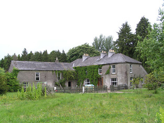 George's Parkhouse · 1709 yd
 Clonamicklon Castle (in ruins)Bawn · 1.1 mi
 Grange Castle (in ruins)Castle, tower house · 1.3 mi
 Bregaun HillMountain / peak · 1.9 mi
 Warhouse HillMountain / peak · 4.0 mi
 DelaneyMemorial · 5.6 mi