What is recorded here
Indicated is an early ecclesiastical enclosure in County Cork, Ireland. It is a roughly circular pasture area, about 85m wide and 80m across, bounded partly by a 1.9m earthen bank and partly by a scarp. Kilcolman church stood inside its SE quadrant, while a holy well lay to the SW beyond the road. The enclosure marked a sacred Christian landscape in west Cork, with worship, water and daily farm life sharing one small hillside.
In pasture, on gentle SW-facing slope. Roughly circular area (85m E-W; 80m N-S) enclosed by earthen bank (H 1.9m) SSE->E; scarp to SE. Bankstone-faced to NE; rubble dumped on scarp to SE; farmyard abuts line of enclosure to ESE where bank levelled. Kilcolman church (site of) (CO109-033003-) in SE quadrant of interior. Listed as early ecclesiastical enclosure (Hurley 1980, 60). Holy well (CO109-033001-) to SW, on opposite side of road.
The above description is derived from the published 'Archaeological Inventory of County Cork. Volume 1: West Cork' (Dublin: Stationery Office, 1992). In certain instances the entries have been revised and updated in the light of recent research.
Date of upload/revision: 14 January 2009
The monument record does not grant public access. Check the route and ask the landowner before entering private land.
- What survives
- Recorded monument
Places near here
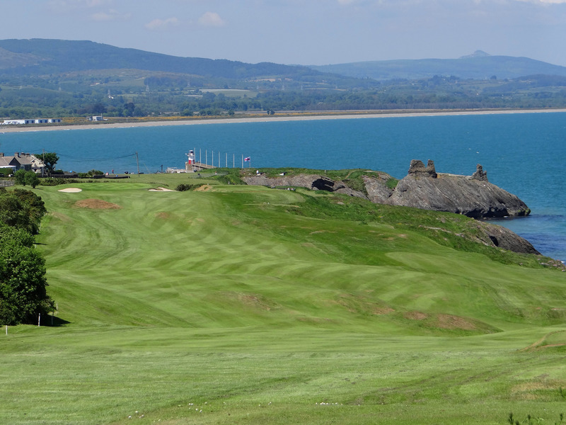 Fulacht fia in Maulbrack WestFulacht fia · 627 yd
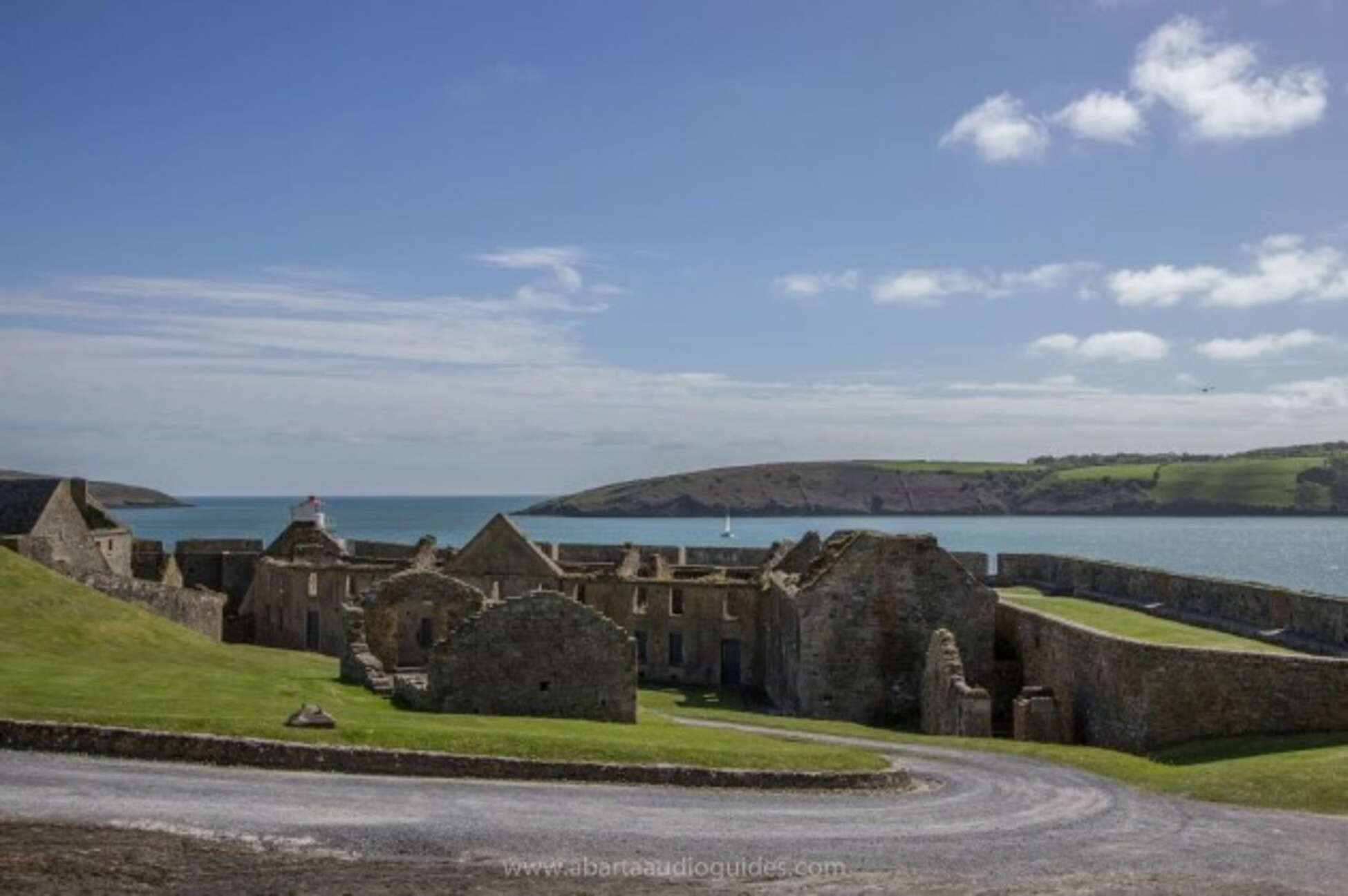 Kilcolman FortArchaeological place · 708 yd
 Tobar MacloonaboySpring · 994 yd
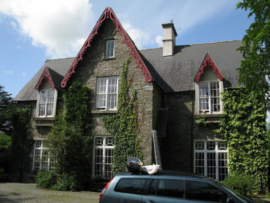 Kilcolman Parkhouse · 1259 yd
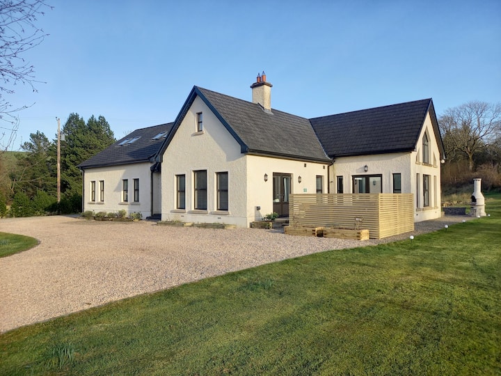 Country house in KilcolmanparkCountry house · 1270 yd
 Castle DerryCastle · 2.9 mi
 The GlenWood · 3.5 mi
 Cottage Road WoodWood · 3.7 mi
 Monteen Castle (in Ruins)Castle, tower house · 4.0 mi
 Graveyard in KilmalodaGraveyard · 4.2 mi
 Corran HillMountain / peak · 4.5 mi
 Argideen Valley trailVisitor information · 5.7 mi