What is recorded here
Situated on a SW-facing mountain slope on the SW side of a narrow valley. A series of irregular fields (with ridge and furrow cultivation) and enclosures covering an area of c. 8 hectares. At least five rectangular house foundations are visible on the ground (CUCAP, AYP 36) and a group of three houses occur in a small natural hollow in the centre of the system.
The above description is derived from the published 'Archaeological Inventory of County Wicklow' (Dublin: Stationery Office, 1997). In certain instances the entries have been revised and updated in the light of recent research.
Date of upload/revision: 17 December 2008
The monument record does not grant public access. Check the route and ask the landowner before entering private land.
- What survives
- Recorded monument
Places near here
 Enclosure in Kilbaylet LowerEnclosure · 289 yd
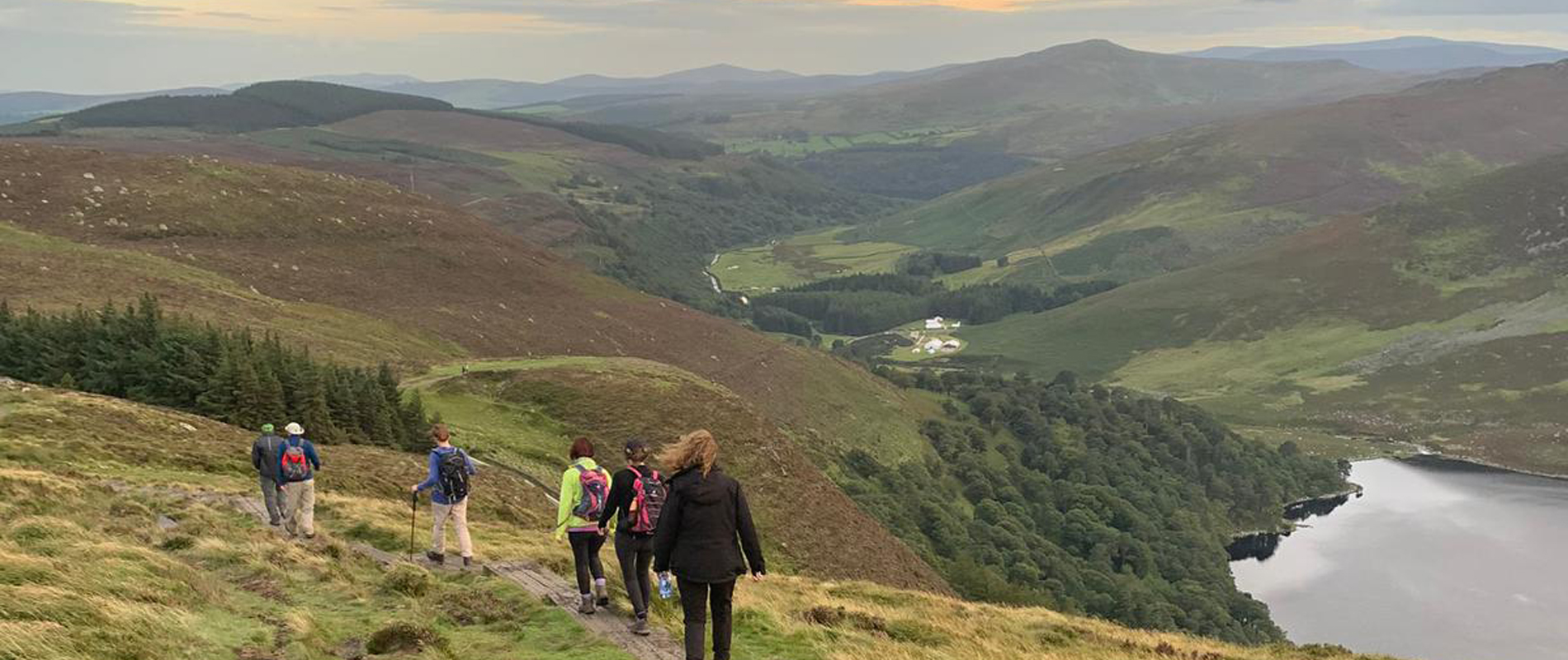 IndicatedEnclosure · 445 yd
 Church MountainMountain / peak · 1629 yd
 Catholic Church of the Holy Trinitychurch/chapel · 1.3 mi
 Pedunculate OakPedunculate Oak · 1.4 mi
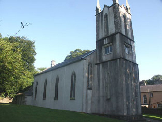 Donard Churchchurch/chapel · 1.4 mi
 PinnacleMountain / peak · 1.6 mi
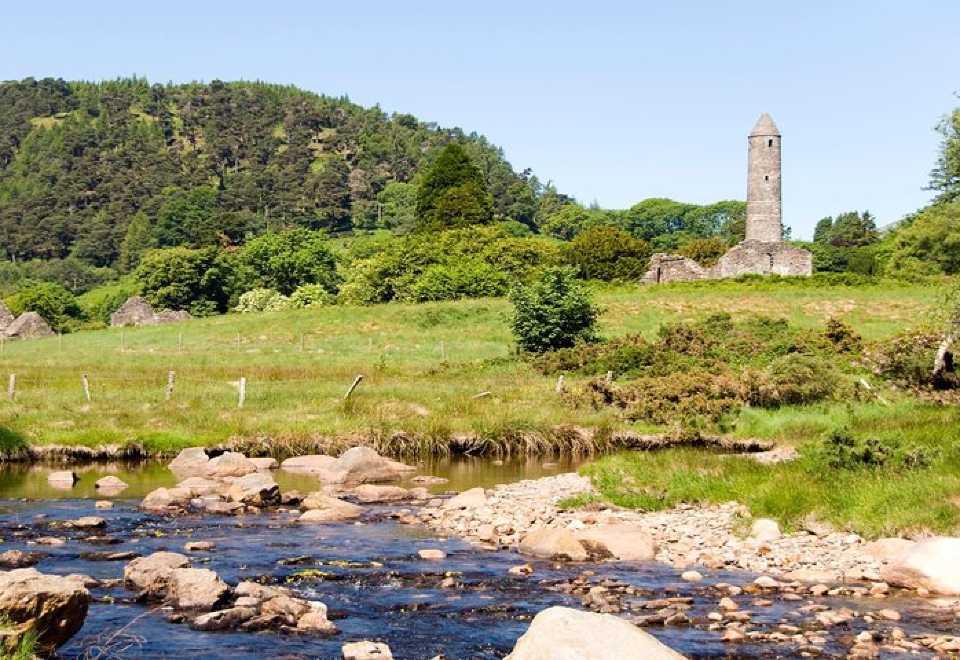 Ball MoatCastle, motte · 1.7 mi
 Burial ground in CrehelpBurial ground · 2.3 mi
 Hollywood SignHeritage attraction · 3.1 mi
 Saint Kevin's CaveMemorial · 3.1 mi
 English hollyEnglish holly · 3.2 mi