
What is recorded here
This graveyard is square in plan and entered from the southwest corner where it drops down significantly from street level. Externally there are houses to the south and west including Howth College (DU015-030----), Abbey Road. to the east and a sheer drop c.30ft to the north. The unusual crenallated perimeter wall was depicted by Beranger in the 18th century.
After torrential rain in October 2011, part of the northern perimeter wall collapsed causing extensive ground collapse and coffin exposure. A programme of removal and reinstatement was undertaken and the graveyard wall butressed externally. There are engineering monitoring points along the internal wall and on the church. The collapse along the northern limit has been repaired and plots reinstated.
The graveyard contains a mixture of 18th, 19th and modern gravestones that range form simple undecorated stones to table tombs.
Compiled by: Geraldine Stout
Updated by: Christine Baker
Date of upload: 26 January 2015
A local ancient tomb; wider significance not recorded.
The monument record does not grant public access. Check the route and ask the landowner before entering private land.
- What survives
- Recorded monument
Places near here
 Saint Mary's Abbeygraveyard/cemetery · 17 yd
 Gyd.Church · 20 yd
 Ye Olde Hurdy-Gurdy (Museum of Vintage Radio)Heritage attraction · 172 yd
 Martello TowerMartello tower · 181 yd
 Fisher's CrossMonument · 258 yd
 The Old CourthouseHeritage attraction · 338 yd
 Howth Tourism Information KioskVisitor information · 390 yd
 George IV's footstepsMemorial · 647 yd
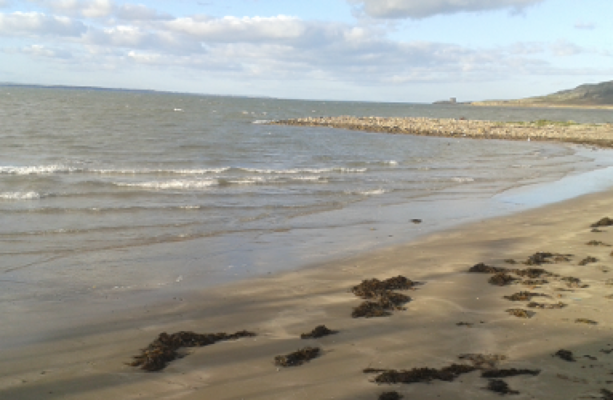 Claremont BeachBeach / strand · 714 yd
 Howth Black Linn LoopWalking route · 1053 yd
 Cliffs of HowthViewpoint · 1086 yd
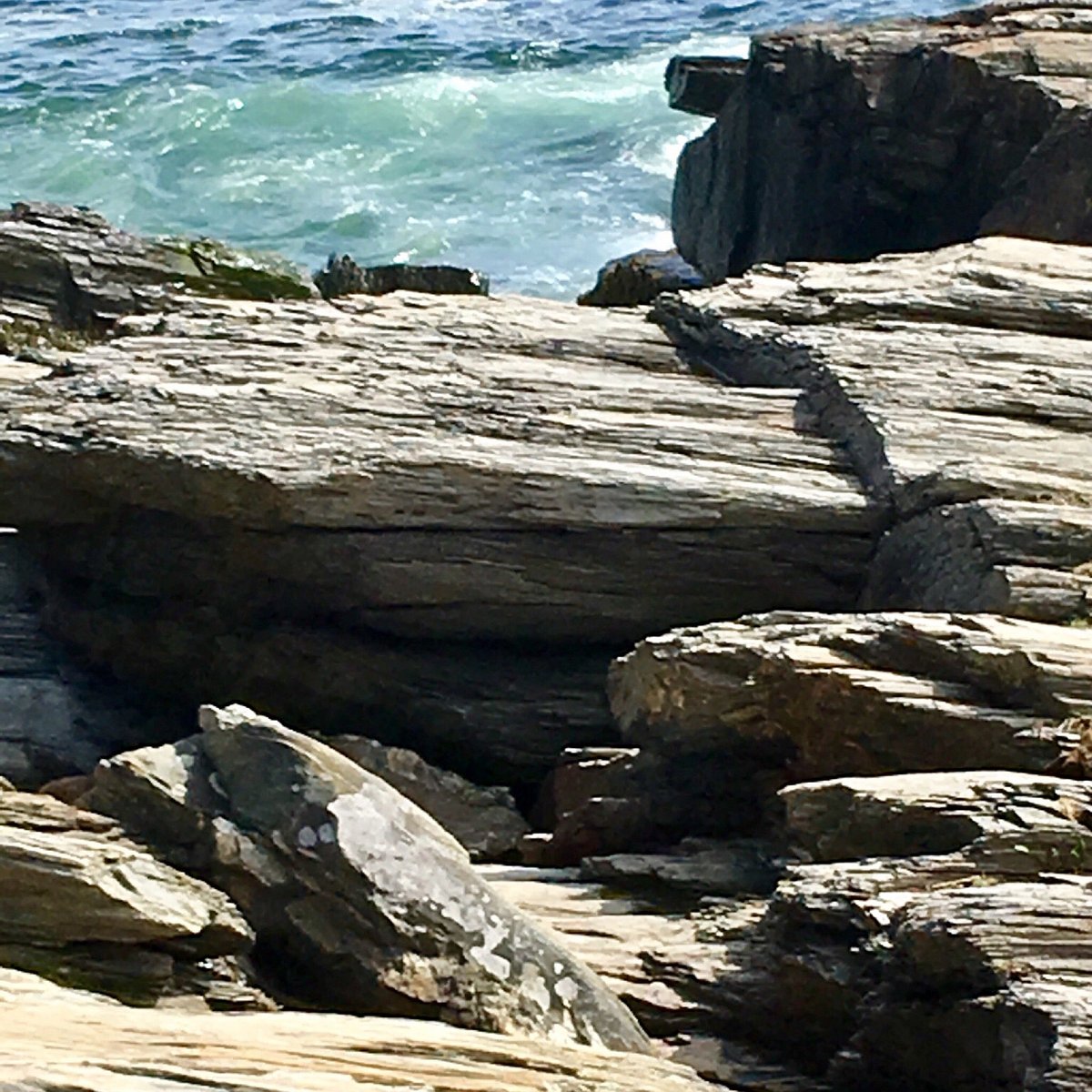 Cannon RockNamed rock · 1147 yd
Other information
Photo: Christine Matthews · Creative Commons Attribution-ShareAlike 2.0