What is recorded here
Situated on level summit of a slight SSE-NNW orientated ridge in gently undulating pasture within the demesne of Hazelbrook House. Shown as a circular tree-ring on the 1837 edition of the OS 6-inch map. On the 1912 edition it is depicted as a circular area defined by six trees (diam. c. 30m) with a seventh within the NE half of the enclosed area. This monument is identifiable as a poorly defined, rectangular feature on aerial photographs (ACP V203/34-5). It has been levelled and there are no remains now identifiable at ground level.
Compiled by: Patrick F. O'Donovan
Date of upload: 21 April 2011
The monument record does not grant public access. Check the route and ask the landowner before entering private land.
- What survives
- Recorded monument
Places near here
 Enclosure in Hazelwood DemesneEnclosure · 527 yd
 Enclosure in BellanodeEnclosure · 687 yd
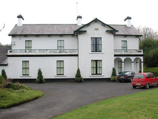 Ballyglass Househouse · 1154 yd
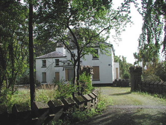 Ardaghowen Househouse · 1285 yd
 European BeechEuropean Beech · 1326 yd
 Sligo Masonic HallMemorial · 1.1 mi
 Model Niland GalleryHeritage attraction · 1.1 mi
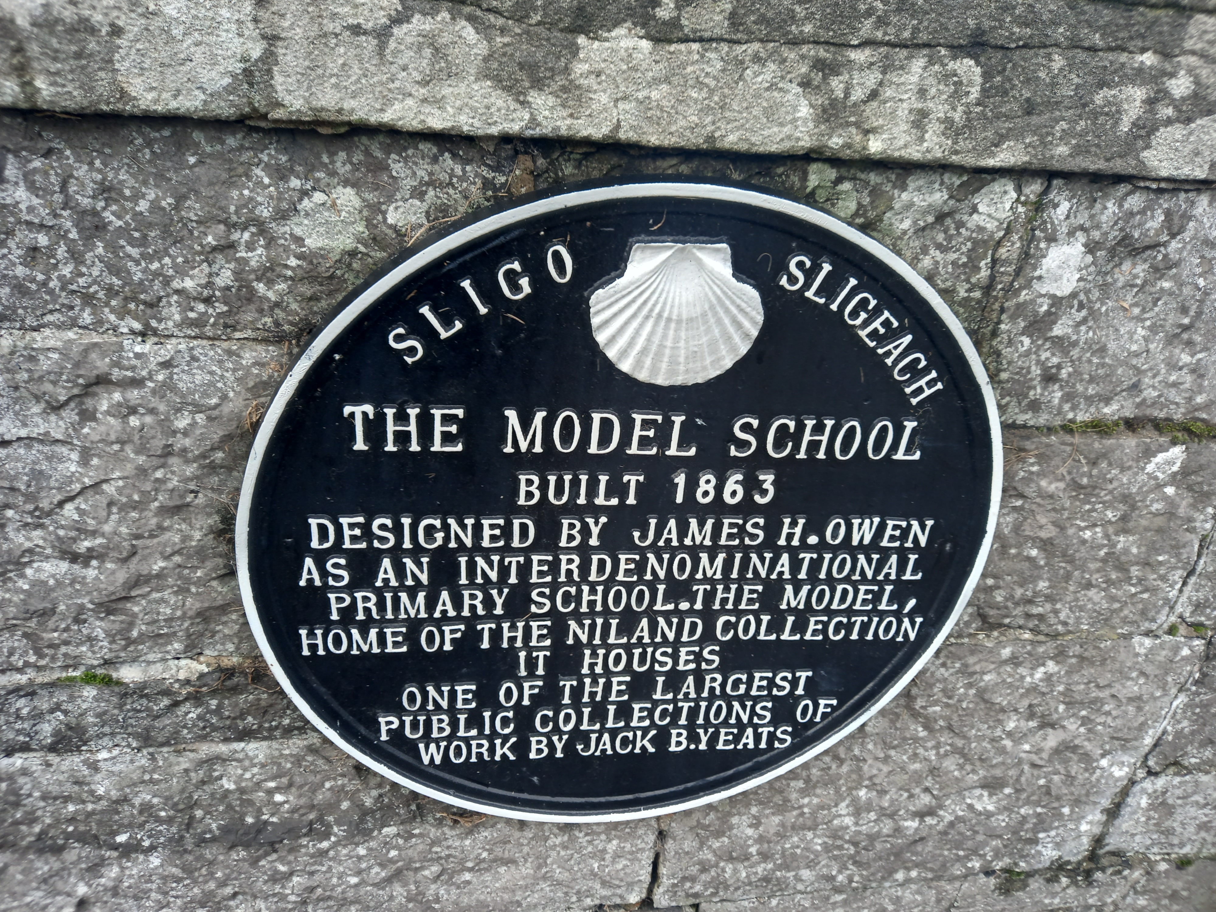 Model SchoolMemorial · 1.1 mi
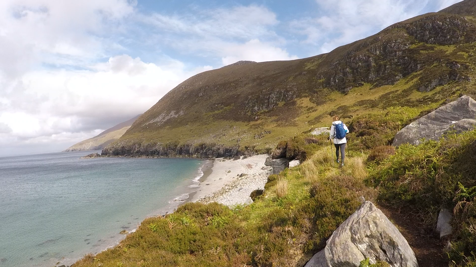 Annagh BayBay · 1.3 mi
 SligoVisitor information · 1.3 mi
 Annagh IslandIsland · 1.4 mi
 Discover IrelandVisitor information · 1.4 mi