What is recorded here
Indicated is a ring-barrow on a southern Laois prominence where a central mound still stands beside a dug fosse. People quarried the middle, perhaps taking stones for walls or tools, yet the surrounding ditch and bank remain visible in the field. The barrow is no longer a complete ceremony space, but it still marks the ground where human hands shaped and took from the same hill.
On a local prominence at S edge of the Heath. A sub-circular ring-barrow (max. ext. diam. 15.7m N-SE) defined by a flat-topped central mound (max. diam. 5.6m; H 0.5m) the interior of which has been quarried out, a round-bottomed fosse (Wth 3-4m; max. int. H 0.7m; ext. H 0.2m) which is incorporated into a field boundary at W. A stone is visible on outer edge of mound at SSW.
Site re-visited by Caimin O'Brien on the 08 May 2007. Site consists of a circular mound (max. diam. 5.6m; H 0.5m) with hollow depression (diam. 1m; D 0.3m) in the centre of the mound which may be due to quarrying enclosed by an inner fosse (Wth 3-4m; max. int. H 0.7m; ext. H 0.2m) and external bank (top Wth 1m; base Wth 2m; ext. H 0.2m)
The above description is derived from the published 'Archaeological Inventory of County Laois' (Dublin Stationery Office, 1995) compiled by P. David Sweetman, Olive Alcock and Bernie Moran. In certain instances the entries have been revised and updated in the light of recent research.
Date of upload: 17 December 2007
The monument record does not grant public access. Check the route and ask the landowner before entering private land.
- What survives
- Recorded monument
Places near here
 Grave Yd.Chapel · 290 yd
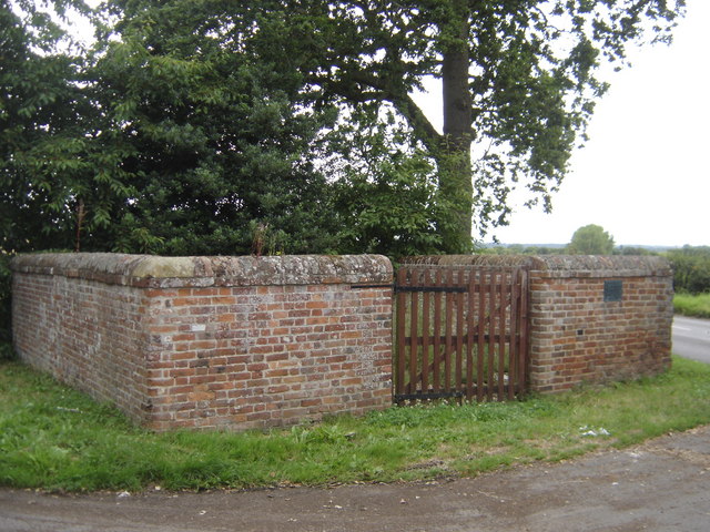 Enclosure in Greatheath (maryborough East By.)Enclosure · 1104 yd
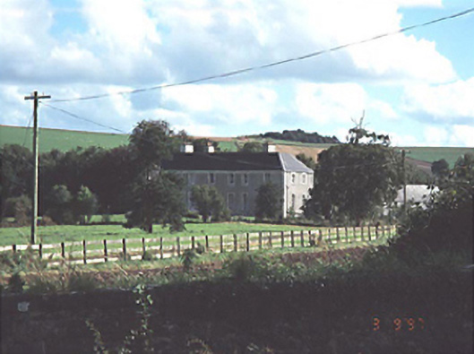 Heath Househouse · 1176 yd
 RathshaneFairy fort / earthen ringfort · 1192 yd
 Coolbanagher Castle (ruins)Castle · 1.6 mi
 Rock of Dunamase, Castle (in Ruins)Castle, Anglo-Norman masonry castle · 1.7 mi
 Rock of DunamaseCastle · 1.8 mi
 Rock of Dunamase InformationVisitor information · 1.8 mi
 Burial Ridge of MaryboroughMemorial · 3.3 mi
 Giant SequoiaGiant Sequoia · 3.6 mi
 European YewEuropean Yew · 3.6 mi
 Emo CourtHeritage attraction · 3.7 mi