What is recorded here
On flat poorly drained pasture with good views in all directions, with a tower house (TS049-008----) 240m to SE and a moated site (TS043-039----) 308m to NW. An oval-shaped area (diam. 30m E-W; 50m N-S) enclosed by an earth and stone bank (top Wth 1.9m; base Wth 4m; int. H 0.2-1.1m; ext. H 0.5m; 1.3m) and waterlogged outer fosse (base Wth 2-3m; top Wth 3.5-5m; ext. D 0.1m). The inner bank is is well-preserved from S through W through N to NE but is in poorer condition on the E side, with modern gaps in the bank at NE (Wth 2m) and SW (Wth 1.5m).
Compiled by: Jean Farrelly
Date of upload: 26 August 2011
The monument record does not grant public access. Check the route and ask the landowner before entering private land.
- What survives
- Recorded monument
Places near here
 Grange Castle (in ruins)Castle, tower house · 222 yd
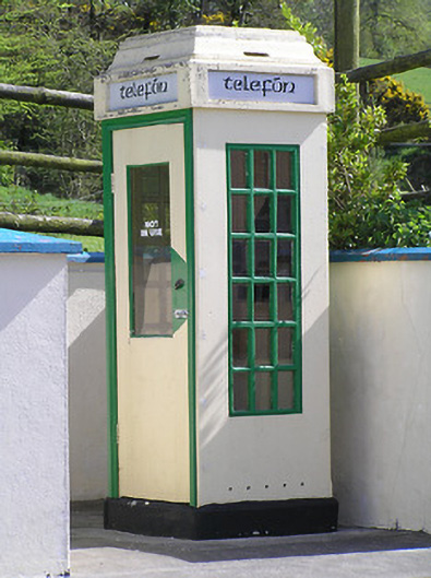 telephone boxtelephone box · 257 yd
 icehouseicehouse · 486 yd
 Deerpark WoodWood · 903 yd
 Rapefield WoodForest · 1071 yd
 IndicatedEnclosure · 1168 yd
 Enclosure in KilcoolyabbeyEnclosure · 1.1 mi
 Kilcooly AbbeyHeritage attraction · 1.3 mi
 Clonamicklon Castle (in ruins)Bawn · 1.6 mi
 Bregaun HillMountain / peak · 1.7 mi
 Warhouse HillMountain / peak · 3.0 mi
 DelaneyMemorial · 6.2 mi