What is recorded here
On flat pasture with good views in all directions, with a possible moated site (TS043-040----) 308m to SE and a tower house (TS049-008----) 200m to SE. This impressive well-preserved but overgrown moated site (overall diam. 50m NE-SW and 68m NW-SE) consists of a raised square-shaped area (diam. 27m N-S; 37m E-W) enclosed by a wide flat-topped earth and stone bank (base Wth 5-6m; top Wth 1.7m; int. H 1-1.5m; ext. H 1-3m) reduced to a scarp from N to NE and a wide, flat-bottomed external fosse (base Wth 4.3m; top Wth 6.5m; ext. D 2m). A gap in the bank (Wth 1.9m) at NE may be the original entrance feature, with a modern gap in the bank (Wth 1.1m) at SW. The interior is level with the external ground level. A field boundary running S from the SE corner of the monument has been removed and another field boundary cuts NW-SE across the N sector as depicted on the 2nd (1903) ed. OS 6-inch map.
Compiled by: Jean Farrelly
Date of upload: 26 August 2011
This remains an important historical record, but the official description says the monument is no longer visible or has been destroyed. The monument record does not grant public access. Check the route and ask the landowner before entering private land.
- What survives
- No visible remains or recorded as destroyed
Places near here
 Grange Castle (in ruins)Castle, tower house · 521 yd
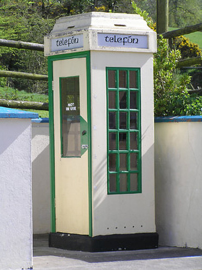 telephone boxtelephone box · 571 yd
 Rapefield WoodForest · 743 yd
 icehouseicehouse · 795 yd
 Four Acre WoodForest · 1103 yd
 IndicatedEnclosure · 1445 yd
 Enclosure in KilcoolyabbeyEnclosure · 1595 yd
 Kilcooly AbbeyHeritage attraction · 1.1 mi
 Clonamicklon Castle (in ruins)Bawn · 1.5 mi
 Bregaun HillMountain / peak · 1.7 mi
 Warhouse HillMountain / peak · 3.2 mi
 DelaneyMemorial · 6.1 mi