
What is recorded here
Indicated is a grassy ringfort crowning a drumlin ridge in County Leitrim, its earthen bank and shallow fosse still marking a circular space twenty-two metres across. The southeast entrance faces the descending land, inviting entry into a quiet chamber where rushes grow thick and field walls choke the western edge. It is the kind of place people once called a fairy fort, not because trolls dance there, but because the boundary remains clear while human use has withdrawn.
Located at the summit of a NE-SW drumlin ridge. This is a grass and rush-covered circular area (int. diam. 22.4m E-W; 21.4m N-S) defined by an earthen bank (Wth 3.5-5m; int. H 0.2-0.8m; ext. H 0.4m at N to 1.2m at E) which is overlain by an overgrown field wall W-N-E. There is a slight external fosse (Wth at base 2-3m; max. D 0.2m) E-S-W and the entrance (Wth 2.8m) is at SE.
The above description is derived from 'The Archaeological Inventory of County Leitrim' compiled by Michael J. Moore (Dublin: Stationery Office, 2003). In certain instances the entries have been revised and updated in the light of recent research.
Date of upload: 23 September 2008
The monument record does not grant public access. Check the route and ask the landowner before entering private land.
- What survives
- Recorded monument
Places near here
 IndicatedFairy fort / stone ringfort · 218 yd
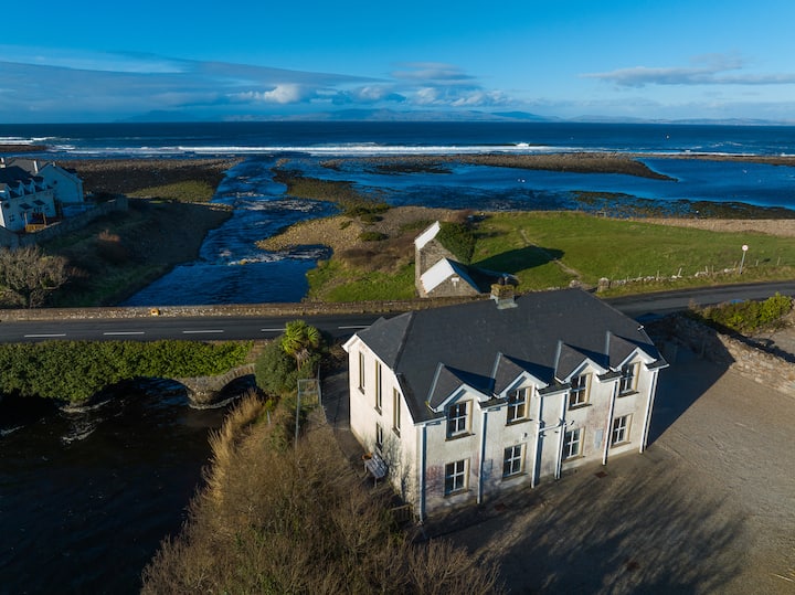 Sweat Ho.Sweathouse · 554 yd
 Church (in Ruins)Church · 854 yd
 kilnkiln · 1208 yd
 Green IslandIslet · 2.5 mi
 The Giants GraveArchaeological place · 3.5 mi
 BenboMountain / peak · 3.6 mi
 Old HallCastle, hall-house · 3.8 mi
 Giants RockNamed rock · 3.9 mi
 Doonbran Isd.Bawn · 5.1 mi
 Ballaghnabehy TopMountain / peak · 5.4 mi
 Parke's CastleHeritage attraction · 5.5 mi
Other information
Photo: Credit not shown in the picture search · Rights wording not checked; contact us if this picture should be removed