What is recorded here
Marked 'Fort' on OS 1836 and 1876 eds. Circular area (int. diam. c. 25m) enclosed by a narrow drystone wall. Original entrance was probably at S. Part of the enclosed area is at a lower level than the external ground level. Along the internal face of the wall at W there are two large stones which may represent the remains of a house site.
The above description is derived from the published 'Archaeological Inventory of County Cavan' (Dublin: Stationery Office, 1995). In certain instances the entries have been revised and updated in the light of recent research.
Date of upload/revision: 22 December 2008
The monument record does not grant public access. Check the route and ask the landowner before entering private land.
- What survives
- Recorded monument
Places near here
 Giant's GraveArchaeological place · 501 yd
 Enclosure in MullaghahyEnclosure · 571 yd
 Giants GraveFairy fort / stone ringfort · 611 yd
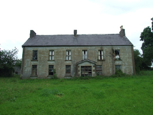 Upper Thornhill Househouse · 699 yd
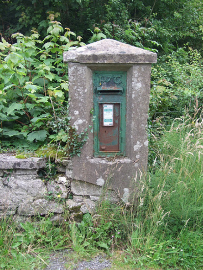 post boxpost box · 863 yd
 Port IslandCastle, Anglo-Norman masonry castle · 1.0 mi
 Tuam IslandIslet · 1.0 mi
 Kilrooscagh IslandIslet · 1.3 mi
 BarranMountain / peak · 1.4 mi
 Lough MacNean WalkWalking route · 1.7 mi
 CorrevanMountain / peak · 1.8 mi
 Teampull RuisínHeritage attraction · 2.3 mi