What is recorded here
On S-facing slope; in pasture, overlooking Cloon Lough S to W, and Aille River to W. Marsh immediately S to W. Roughly circular area (46m N-S; 51m E-W), enclosed by substantial, well-preserved stone wall (H 2.1n; Wth 1.7m). Huge boulders evident on NW, NE and SE. Slight collapse in outer N face. Two gaps; N (Wth 2.6m), NW (Wth 1m). SE has lintelled entrance (Wth 0.8m). Rectangular mound of stone (25.6m N-S; 19.4m E-W; H 1.5m), a possible building in interior.
The above description has been derived from D. Lavelle (compiler), An Archaeological Survey of Ballinrobe and District including Lough Mask and Lough Carra. Lough Mask and Lough Carra Tourist Development Association (1994), No. 281.
Date of upload: 22 January 2013
The monument record does not grant public access. Check the route and ask the landowner before entering private land.
- What survives
- Recorded monument
Places near here
 CastleCastle, unclassified · 819 yd
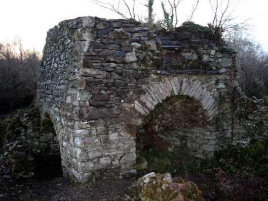 kilnkiln · 1573 yd
 BonnimilishIslet · 1.0 mi
 Church in ruinsChurch · 1.0 mi
 Doon WoodWood · 1.3 mi
 Castle CarraCastle · 1.6 mi
 Redgate ParkWood · 1.7 mi
 Ballycally IslandIslet · 1.7 mi
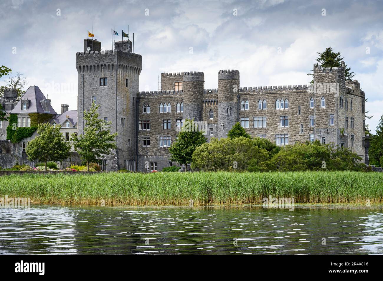 IndicatedFairy fort / earthen ringfort · 1.8 mi
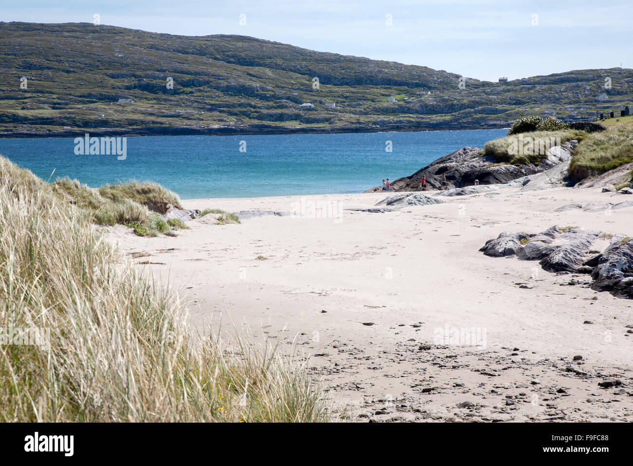 Sweathouse in Derrymore (kilmaine By.)Sweathouse · 2.1 mi
 The Celtic FurrowHeritage attraction · 2.3 mi
 Kiltoom PointHeadland · 2.7 mi