What is recorded here
Indicated is a graveyard at the east end of a low ridge near the River Boyne, where a triangular walled area still holds two headstones, one marked 1770. The church of Mary Magdalene stands inside that grassy triangle, pointing east like a quiet finger toward the river. Whatever lives beneath the soil has not spoken back, but the stones remain, naming death and endurance without fear.
Situated at the E end of a low W-E ridge or spur with a NW-SE section of the River Boyne c. 85m to the NE. The church of Mary Magdalene (ME036-027----) is within a triangular grass-covered area (dims c. 80m WNW-ESE; c. 40m NNE-SSW) defined by masonry walls with the apex at E, but only two headstones, now in the church, survive. One has the incised date 1770. Archaeological testing (13E0456) by Donal Murphy c. 200m to the SSE produced no related material (excavations.ie 2013:111).
Compiled by: Michael Moore
Date of upload: 16 February, 2015
Amended: 25 March 2021
The monument record does not grant public access. Check the route and ask the landowner before entering private land.
- What survives
- Recorded monument
Places near here
 IndicatedChurch · 24 yd
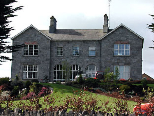 Highfield Househospital/infirmary · 117 yd
 Trim CastleCastle, Anglo-Norman masonry castle · 434 yd
 Fortification in Manorland (1st Division)Fortification · 445 yd
 CastleCastle, hall-house · 495 yd
 Wellington MonumentMonument · 570 yd
 Saints IslandForest · 3.4 mi
 Small-leaved ElmSmall-leaved Elm · 3.8 mi
 Kilgar GardensHeritage attraction · 8.9 mi
 MullaghMountain / peak · 9.0 mi
 Old Bog Road made famous by Teresa Bryton 1868-1943Memorial · 9.0 mi
 Larchil Arcadian GardensHeritage attraction · 9.3 mi