What is recorded here
In an upland river valley at the E end of a low ridge overlooking a steep river valley immediately to E and N, with a later medieval church (KK015-030004-) and graveyard (KK015-030005-) 85m and 44m respectively to W of this church. There is a holy well, known as St. Scoheen's Well (KK015-030006-), approx. 60m W of the church (KK015-030001-) and graveyard. The church is marked as 'Tiscoffin Church (Site of)' on the 1900 ed. OS 6" map which is derived from the Irish Tigh Scoithin. St. Scoithin was a 6th-century monk who established a hermitage here during this period. There is no visible trace of the early medieval church which is located in the SW quadrant of a small square-shaped graveyard (int. dims. 24m N-S; 25m E-W). The graveyard is defined by a low grass-covered stone wall constructed of coursed shale limestone which survives approx. six courses high (H 0.6m; wall T 0.6m). The OS letters records that 'the original grave yard of this original church is no longer used; in it are shewn seven flags (now partly covered with grass and earth) under which seven Bishops - the seven sons of Scoithin are said to be interred' (O'Flanagan 1930, vol. 1, 73-4). A cross-inscribed slab (KK015-030008-) was discovered in 1950 lying along the bank of the graveyard.
Compiled by: Jean Farrelly
Date of upload: 7 March 2016
A portal dolmen dating to the Neolithic period; its proximity to a later medieval church and graveyard suggests long-term sacred or ceremonial significance of the site.
This remains an important historical record, but the official description says the monument is no longer visible or has been destroyed. The monument record does not grant public access. Check the route and ask the landowner before entering private land.
- What survives
- No visible remains or recorded as destroyed
Places near here
 Site of Tiscoffin ChurchChurch · 10 yd
 St. Scoheens WellHoly well · 82 yd
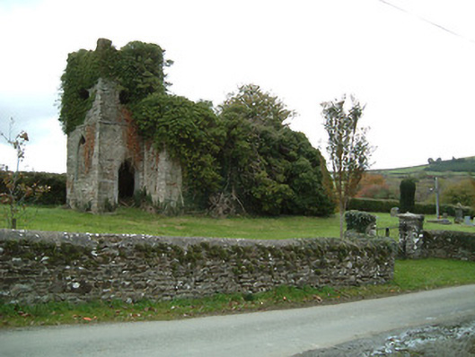 Freneystown Church (Tiscoffin)church/chapel · 104 yd
 Freneystown CastleCastle, tower house · 514 yd
 Saint Scuithin's Catholic Churchchurch/chapel · 1450 yd
 St. Mogarra’s WellSpring · 1.5 mi
 Moonhall Castle (ruins)Castle · 1.7 mi
 HawthornHawthorn · 2.0 mi
 Gleann Dick ForestForest · 3.5 mi
 Kilkenny AirsoftHeritage attraction · 6.1 mi
 Time CapsuleMemorial · 6.8 mi
 Edward BurkeMemorial · 6.9 mi