What is recorded here
On a rise, in undulating pasture. Circular raised area (30m N-S; 30m E-W; H 0.5m) with fifteen possible kerbstones along edge of platform. Two large stones (L 1.35m; 1.4m x 0.35m; L 2m; 1.6m x 0.4m) in centre of interior. Exact nature of the site unknown.
The above description has been derived from D. Lavelle (compiler), An Archaeological Survey of Ballinrobe and District including Lough Mask and Lough Carra. Lough Mask and Lough Carra Tourist Development Association (1994), No. 359.
Date of upload: 22 December 2014
The monument record does not grant public access. Check the route and ask the landowner before entering private land.
- What survives
- Recorded monument
Places near here
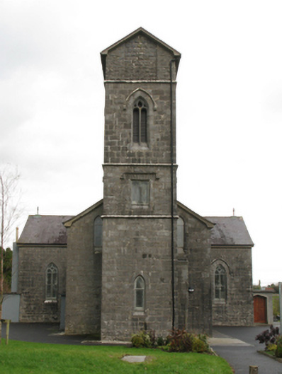 Saint Patrick's Catholic Churchchurch/chapel · 499 yd
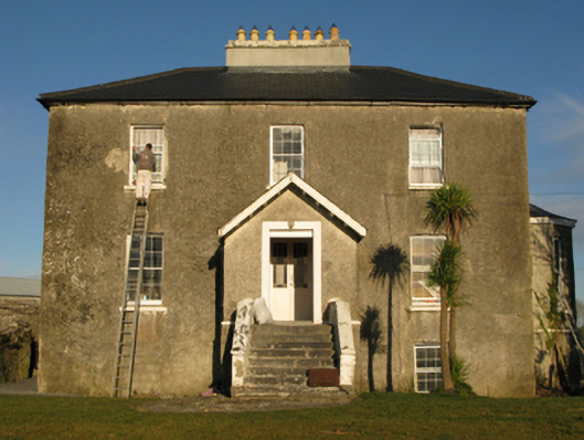 rectory/glebe/vicarage/curate's houserectory/glebe/vicarage/curate's house · 796 yd
 IndicatedFairy fort / earthen ringfort · 871 yd
 Enclosure in Frenchbrook SouthEnclosure · 1025 yd
 Bawn in Cregduff (kilmaine By., Kilmainemore Par.)Bawn · 1242 yd
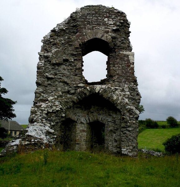 Castle in ruinsCastle, unclassified · 1.0 mi
 European YewEuropean Yew · 3.1 mi
 Cregg PlantationForest · 3.6 mi
 Gibbs IslandsIslet · 5.5 mi
 Matthew IslandIslet · 6.1 mi
 School of FalconryHeritage attraction · 7.2 mi
 Ard na GaoitheHeritage attraction · 8.0 mi