What is recorded here
In pasture. A roughly circular enclosure (diam. c. 26m), not indicated on the 1st (1839) ed. OS 6-inch map and shown on the 1900 revision of this map as a circular feature with some trees inside, which is typically how a tree-ring is depicted. On Digitalglobe satellite imagery it appears to have been levelled.
Compiled by: Jean Farrelly
Date of upload: 24 January 2018
The monument record does not grant public access. Check the route and ask the landowner before entering private land.
- What survives
- Recorded monument
Places near here
 Foulkscourt Ringfort (rath)Archaeological place · 28 yd
 Church (in ruins)Church · 454 yd
 Enclosure in FoulkscourtEnclosure · 965 yd
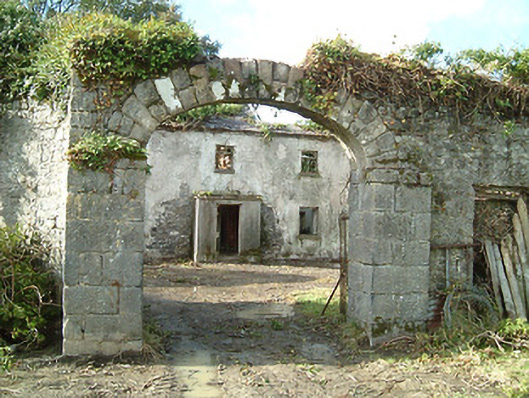 Foulkscourt Housefarmyard complex · 1005 yd
 IndicatedBawn · 1112 yd
 Foulkscourt castle (in ruins)Castle, tower house · 1133 yd
 DelaneyMemorial · 1604 yd
 John HelyMemorial · 1.0 mi
 Clomantagh HillMountain / peak · 3.0 mi
 Street fieldArchaeological place · 3.5 mi
 Kildrinagh WoodForest · 5.4 mi
 St. Mary's Famine and War MuseumMuseum · 11 mi