What is recorded here
On steep W facing slope under hazel overgrowth, overlooking and c. 150m NE of the Caher River. Hachured as a circular enclosure (diam. c. 25m) on the 1842 OS 6-inch map but indicated as a subcircular field on the 1915 ed. An arc of the enclosing element is visible SW-NW on Digital Globe ortho image (2011-13).
Compiled by: Mary Tunney and Ros Ó Maoldúin
Date of upload: 2 December 2020
The monument record does not grant public access. Check the route and ask the landowner before entering private land.
- What survives
- Recorded monument
Places near here
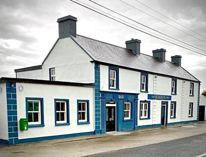 CaherbannaghFairy fort / stone ringfort · 983 yd
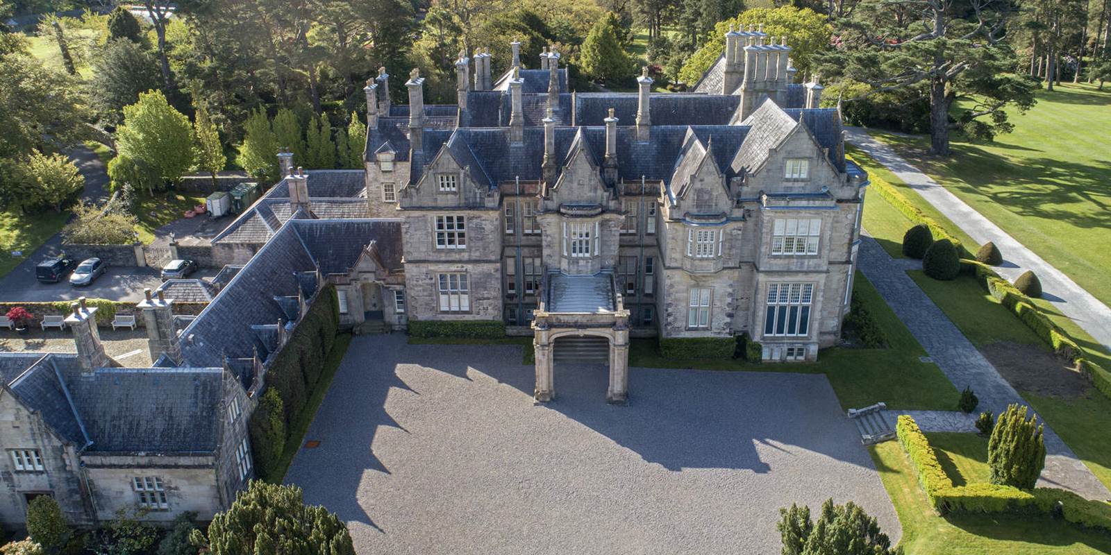 Enclosure in MurrooghkillyEnclosure · 1339 yd
 Formoyle R.C. ChapelChurch · 1.1 mi
 garda station/constabulary barracksgarda station/constabulary barracks · 1.2 mi
 Fanore BeachBeach / strand · 1.7 mi
 CappanawallaMountain / peak · 2.1 mi
 Gleninagh CastleCastle · 2.2 mi
 Faunarooska Castle (in ruins)Castle, tower house · 2.3 mi
 Black HeadHeadland · 2.5 mi
 Slieve ElvaMountain / peak · 2.6 mi
 FaunarooskaCave · 2.8 mi
 PollbailinyCave · 2.9 mi
Other information
Photo: Credit not shown in the picture search · Rights wording not checked; contact us if this picture should be removed