What is recorded here
Part of roadside settlement at Ballindangan cross roads, mid/late 19th-century house. Front (SE) of 4 bays, off-centre door to right. Roof hipped to left with chimney on end wall; gable-ended to right with similar house attached which has thatched roof and off-centre chimney to right. Roadside addition to rear.
The above description is derived from the published 'Archaeological Inventory of County Cork. Volume 4: North Cork' (Dublin: Stationery Office, 2000). In certain instances the entries have been revised and updated in the light of recent research.
Date of upload/revision: 14 January 2009
The monument record does not grant public access. Check the route and ask the landowner before entering private land.
- What survives
- Recorded monument
Places near here
 Enclosure in NutgroveEnclosure · 512 yd
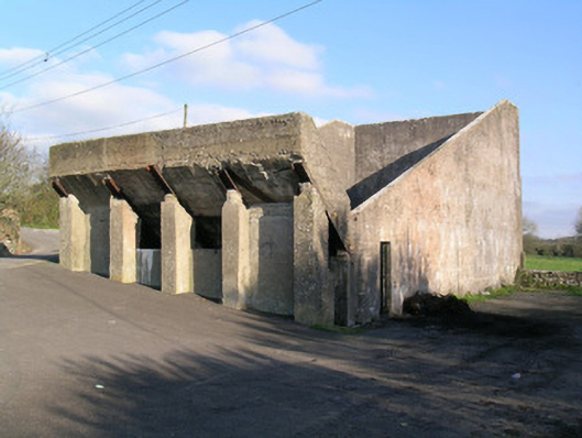 Ballindangan Handball Alleyhandball alley · 582 yd
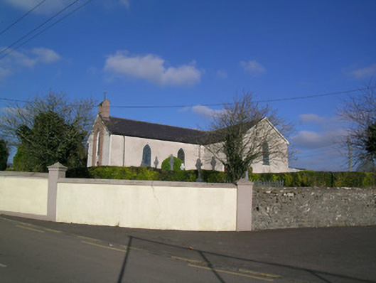 Church of the Immaculate Conceptionchurch/chapel · 644 yd
 Folachta FiadhFulacht fia · 816 yd
 Ballyloughy CastleCastle · 1.4 mi
 Caherdrinny Castle (in Ruins)Castle, tower house · 1.6 mi
 FlagCave · 2.7 mi
 St Dominick's WellSpring · 3.2 mi
 Graveyard in BoherashGraveyard · 3.2 mi
 Flat cemetery in Ballyenahan NorthFlat cemetery · 3.3 mi
 Mitchelstown Town MapVisitor information · 3.4 mi
 Kilclooney WoodWood · 4.3 mi