
What is recorded here
Situated in rough pasture on a ledge (Wth 60m) at the foot of a NW-facing cliff (H 7–8m) overlooking the Caher River and Fanore dunes. A roughly oval enclosure (int. dims. 21.2m E-W; 18.14m N-S) near the NE end of a complex of field walls, hut, and house sites (CL001-013001-to CL001-013006-). It is defined by a mixture of double-walling comprised of large blocks set on edge and natural outcropping rock at ENE and ESE. A partially blocked entrance at NNE is collapsed on its W side and formed by three large transversely laid blocks on its E side. Additional gaps occur at NE (Wth 0.6m) and SW (Wth 1m). It is depicted on Robinson’s map of the Burren (1977). A large boulder c. 25m to SSW and a cave entrance c. 60m SSW may have formed part of the complex. The cave entrance is partially blocked by a low wall.
Compiled by: Mary Tunney and Ros Ó Maoldúin
Date of upload: 21 September 2020
A local fairy fort (ringfort/rath); wider significance not recorded.
The monument record does not grant public access. Check the route and ask the landowner before entering private land.
- What survives
- Recorded monument
Places near here
 garda station/constabulary barracksgarda station/constabulary barracks · 206 yd
 Fanore Bridgebridge · 300 yd
 IndicatedFairy fort / stone ringfort · 392 yd
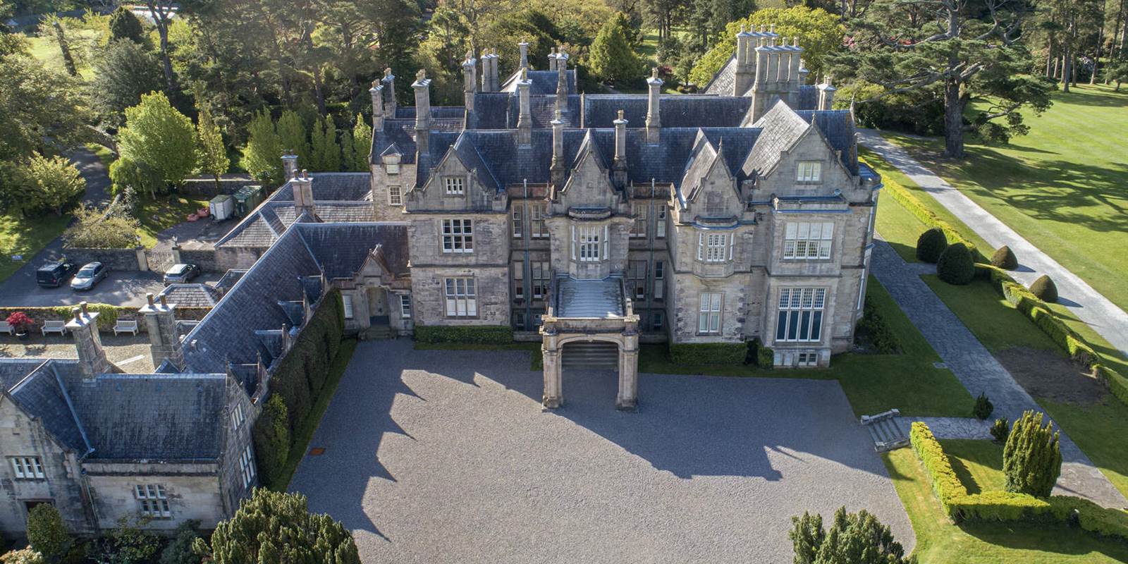 Enclosure in MurrooghkillyEnclosure · 844 yd
 Fanore BeachBeach / strand · 1188 yd
 Faunarooska Castle (in ruins)Castle, tower house · 2.2 mi
 Black HeadHeadland · 2.2 mi
 FaunarooskaCave · 2.7 mi
 Slieve ElvaMountain / peak · 2.7 mi
 PollbailinyCave · 2.8 mi
 Gleninagh CastleCastle · 3.0 mi
 CappanawallaMountain / peak · 3.1 mi
Other information
Photo: Credit not shown in the picture search · Rights wording not checked; contact us if this picture should be removed