What is recorded here
In pasture, located on an expanse of lowlying, flat ground. There is a stream/drain 3m to S of the rath, beyond which the ground rises gradually. The location is overlooked 200m to N by an esker on top of which there is a rath (MA062-147----). Another rath (MA062-037----) lies 170m to SW. This rath has been partly levelled, most severely on its E half, but its outline is still clearly visible. It is evident as a slightly raised, oval area (c. 39.3m ESE-WNW; c. 27m NNE-SSW) defined by a low scarp (H 0.3m). The scarp is clearly defined on the W half but is very degraded and uneven at NE−SE. Outside the scarp, the rath is enclosed by two fosses with an intervening bank. The inner fosse (Wth c. 2m) is visible as a shallow depression. The bank (Wth 5.5-7m; int. H 0.55m; ext. H 0.85m, at W) is best preserved at SE-W-NE but is reduced to a low, barely discernible undulation elsewhere. The outermost fosse (Wth 2.8m; D 0.3m at W) can be traced as a shallow depression at SW−N but is not visible at E. The original entrance may have been at W where there is a break (Wth 2.5m) in the bank and a causeway across the outermost fosse.
Compiled by: Jane O’Shaughnessy
Date of upload: 16 November 2016
The monument record does not grant public access. Check the route and ask the landowner before entering private land.
- What survives
- Recorded monument
Places near here
 bridgebridge · 429 yd
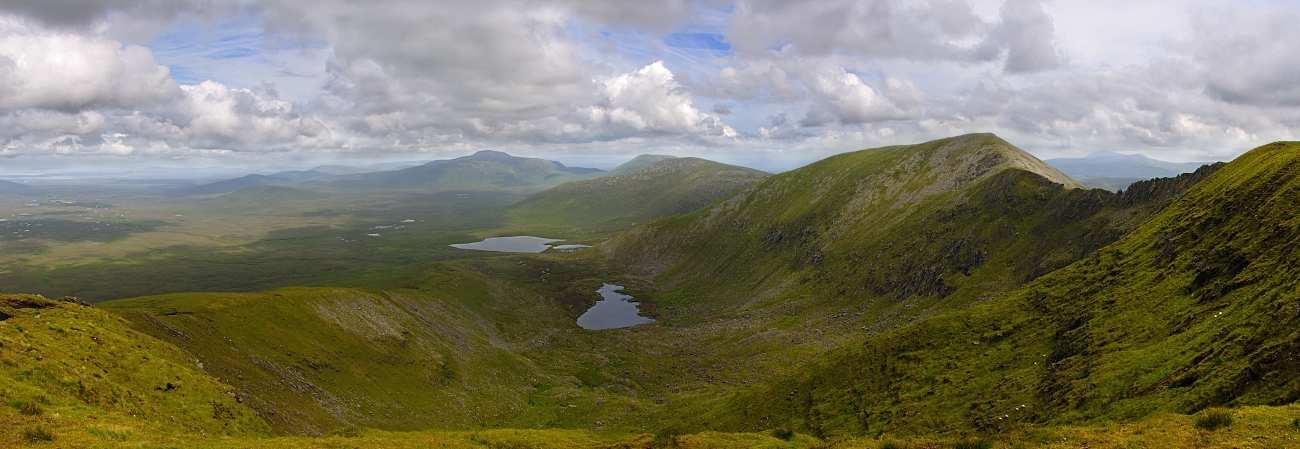 IndicatedFairy fort / earthen ringfort · 741 yd
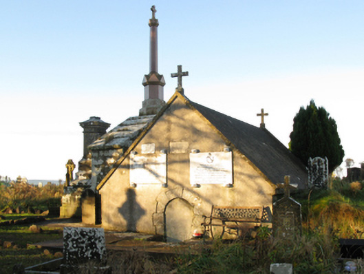 mausoleummausoleum · 770 yd
 Procession Of The SoulsMemorial · 1118 yd
 Enclosure in LagcurraghEnclosure · 1122 yd
 Youth Memorial GardenMemorial · 1547 yd
 Brabazon WoodsForest · 1717 yd
 HawthornHawthorn · 1.9 mi
 Castle (in Ruins)Castle, unclassified · 2.2 mi
 Hennigan's Heritage CentreHeritage attraction · 2.3 mi
 Thorn CaveCave · 4.3 mi
 Kiltimagh MuseumMuseum · 7.6 mi