What is recorded here
Indicated is a forgotten fairy fort on a drumlin ridge in County Leitrim, Ireland. Its earthen bank and shallow fosse have surrendered to grass and rush, hiding the entrance that once marked the boundary between the human world and the unknown. The site preserves a shape older than memory, waiting for someone reckless enough to walk its hidden circle.
Located just off the crest of the S-facing slope of a N-S drumlin ridge. This is a grass and rush-covered subcircular area (int. dims 23m plus E-W; 20.4m N-S) defined by an overgrown earthen bank (Wth 2-2.6m; int. H 0.4m; ext. H 1.1-1.4m) and an external fosse (Wth of top 3-4m; Wth of base 1.75m; ext. D 0.2-0.3m). The original entrance is not identified.
See the attached aerial view taken from the ENE.
The above description is derived from 'The Archaeological Inventory of County Leitrim' compiled by Michael J. Moore (Dublin: Stationery Office, 2003). In certain instances the entries have been revised and updated in the light of recent research.
Compiled by: Michael Moore
Date of upload: 23 September 2008
Amended: 5 December, 2019
The monument record does not grant public access. Check the route and ask the landowner before entering private land.
- What survives
- Recorded monument
Places near here
 Not idicatedEnclosure · 396 yd
 IndicatedFairy fort / earthen ringfort · 1556 yd
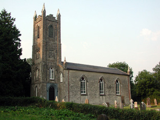 Saint Anne's Church (Annaduff)church/chapel · 2.9 mi
 Church (in Ruins)Church · 3.0 mi
 Tom Dunphy MemorialMemorial · 3.0 mi
 Turlough O'Carolan MonumentHeritage attraction · 3.3 mi
 Declaration of IndependenceMemorial · 3.3 mi
 Wildlife AreaNature reserve · 3.5 mi
 Leabaidh DermotCave · 4.9 mi
 TuliptreeTuliptree · 5.0 mi
 Little IslandIslet · 5.0 mi
 Duck IslandIslet · 5.1 mi